Council introduces ordinance designating new fire hazard severity zones; schedules May 7 public hearing
Get AI-powered insights, summaries, and transcripts
Subscribe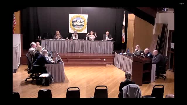
Summary
Fairfax moved to adopt updated fire hazard severity zones based on state mapping, introduced an ordinance and scheduled a May 7 public hearing. Staff and residents debated map differences, insurance implications and defensible‑space requirements.
The Fairfax Town Council on April 2 introduced an ordinance to designate fire hazard severity zones in local responsibility areas and adopted a resolution scheduling a public hearing for May 7, following a staff presentation on state maps prepared by CAL FIRE.
Planning and fire staff — assisted by Ross Valley Fire District senior inspector Rob Bastian and Fire Chief Mahoney — told the council the California Government Code requires local agencies to adopt moderate, high, and very‑high fire severity designations based on state recommendations. Inspector Bastian said the town received the state recommendations on Feb. 24, 2025, and must act within a 120‑day window.
Why it matters: the new maps change where state and local building and vegetation requirements and resale disclosures apply. Staff emphasized the maps are driven by modeled fire probability, vegetation and terrain, not by local development patterns. The presentation included a caution from the state insurance commissioner that CAL FIRE maps are intended to drive planning — not insurance underwriting — and that insurers already use broader risk tools.
Key facts: staff showed differences between Fairfax’s 2007 Wildland‑Urban Interface maps and the new maps; some areas such as portions of Sir Francis Drake Boulevard were newly mapped as high hazard, while parts of the Taylor/Roca area are no longer on the state’s hazard maps but remain subject to the town’s WUI rules. Staff said Fairfax has moderate and high zones but no areas designated very high on the state maps.
Council action: the council voted to introduce the ordinance and schedule a public hearing on May 7. The motion passed unanimously among councilmembers on the dais. Councilmembers and members of the public asked detailed questions about how the map was generated, whether existing local WUI regulations would continue to apply where the state map differs, and whether insurers would use the maps to cancel or raise homeowner policies.
Public comment and concerns: speakers asked whether the new designations would worsen insurance availability and cost, and several urged the council to coordinate evacuation planning and to involve the fire district in evaluating impacts to evacuation routes. Speakers also asked for clearer outreach to neighborhoods that find themselves newly classified as higher hazard.
What’s next: because the council introduced the ordinance, staff will publish materials and hold a public hearing on May 7 to take formal testimony and consider final adoption. Staff recommended outreach to property owners about defensible‑space best practices in the near term and said some state regulations on requirements close to structures are still under development.
Ending: The council’s action starts a formal local process to adopt the state’s recommended hazard designations while preserving the town’s existing WUI rules where applicable; residents were advised to review defensible‑space guidance and to attend the May 7 hearing for formal comment.