Get Full Government Meeting Transcripts, Videos, & Alerts Forever!
Utah water agency says airborne snow surveys will continue over watershed for three years
Summary
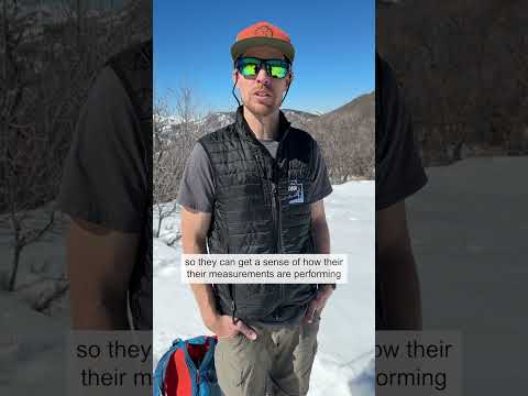
Scott McGatigan, an engineer with the Utah Division of Water Resources, described ongoing Airborne Snow Observatory flights that use lidar and spectrometers to map snow depth; officials plan several additional flights over the next three years to gather more data.
Scott McGatigan, an engineer with the Utah Division of Water Resources, said his section’s Airborne Snow Observatory program will conduct additional airborne surveys over a watershed in coming years to collect more snow-depth data.
McGatigan told the meeting that the ASO flights use lidar and spectrometers and follow a “lawn mower” flight pattern to capture snow depth across…
Already have an account? Log in
Subscribe to keep reading
Unlock the rest of this article — and every article on Citizen Portal.
- Unlimited articles
- AI-powered breakdowns of topics, speakers, decisions, and budgets
- Instant alerts when your location has a new meeting
- Follow topics and more locations
- 1,000 AI Insights / month, plus AI Chat