Get Full Government Meeting Transcripts, Videos, & Alerts Forever!
Get email alerts on the Economic Development topic
No spam. Unsubscribe anytime.
Florence County economic-development office presents 2024 highlights; Lake City draft zoning map to be layered into county GIS
Summary
Florence County Economic Development shared its 2024 annual report and updates on a new AESC facility and training center; a draft digital comprehensive zoning map for Lake City was presented and staff said it will be added as a layer to Florence County's GIS when finalized.
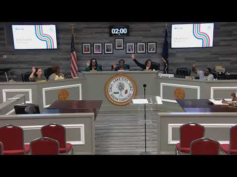
Representatives from Florence County presented their 2024 annual report to the Lake City Council on Tuesday and described local economic activity and near-term projects, while a separate presenter demonstrated a draft digital comprehensive zoning map intended for addition to Florence County’s geographic information system.
Lynn Wilson, director of community and workforce development with Florence County Economic Development, distributed the county’s annual report and highlighted county efforts to market industrial parks, including the Scranton Industrial Park and the Lake City Commerce Park. She said the AESC facility in front of Wilson High School expects to open later this year; staff have hired about 150 employees so far and the employer aims to reach roughly 1,600 employees over five years. Wilson said a training center tied to the facility should open "late spring, early summer," and she invited city officials to an April 2 “lunch and learn” at Scranton Industrial Park.
City staff member Kayla Hodge presented a draft digital comprehensive zoning map for Lake City. Hodge said the draft currently allows users to search by tax map number and, once out of draft, will allow searches by address or owner. "There have been no changes. These are just working with existing zones. This is the foundation for zoning changes and for the future land use of the city," Hodge told the council. Hodge asked the council to approve adding the draft map as a layer to Florence County’s GIS system so the public can access zoning information online.
Council members did not take formal action on the map during the meeting; Hodge said the map is in draft and would become accessible by address and owner after finalization.