Get Full Government Meeting Transcripts, Videos, & Alerts Forever!
Get email alerts on the Historic Maps Gis topic
No spam. Unsubscribe anytime.
Goochland Historical Society and county unveil online historic map viewer in partnership with GIS
Summary
The Goochland Historical Society and county GIS staff demonstrated a new online historic map viewer on April 1 that overlays historic maps (including John Wood's 1824 survey and later maps) on current digital mapping, intended for residents, planners and historians.
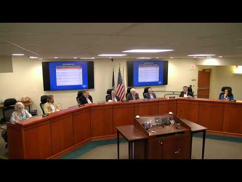
Goochland Historical Society President Robin Lynn and the county’s GIS coordinator John Worley demonstrated a new historic map viewer to the Goochland County Board of Supervisors on April 1, showing interactive overlays of historic maps from the early 19th century through the 20th century atop the county’s current digital mapping system.
The tool, developed in collaboration between the county GIS office and the Historical Society over roughly five years, lets users choose which historic maps to overlay, compare alignments and identify features such as historic roads, mills, churches and landowners. Presenters said the viewer includes scans such as the John Wood 1824 survey (printed 1826), a detailed 1863 map by James Gilmer, a late-19th-century John George topographical map and a 1932 Virginia Department of Highways map tied to the Byrd Road Act era.
Why it matters: the viewer supports local research, planning and preservation by making primary historic cartography accessible and comparable to current features. Presenters noted use cases including verifying historic rights-of-way, tracing road alignments that have shifted over time, and supporting homeowners and historians who wish to investigate historical property and landscape features.
Key points from the presentation: - The John Wood map (1824 survey) shows water systems, roads, ferries, bridges, mills and some named property owners; the printed sheet measures over 44 square feet in its original form and is on exhibit at the Library of Virginia through June. - The Gilmer 1863 map includes fine details such as roads later abandoned and annotations that explain historic alignments near Crozier and Shallowell Road (near Hebron Presbyterian Church). - The John George map shows early estimates of cleared land, forest and school population; presenters noted its historical value for studying county land use and institutions. - The 1932 highway map reflects the transfer of county roads to the Virginia Department of Highways (now VDOT) following the Byrd Road Act and shows projected route work that later became Route 250.
Technical and access details: Mr. Worley said the viewer will be accessible from both the Goochland County and Goochland Historical Society websites. Presenters distributed a QR code to demonstration attendees for direct access and said multiple entry points will be provided.
Board questions and staff responses: a supervisor asked about shifting boundary lines and whether historic maps had been reconciled to modern legal boundaries. Presenters cautioned maps reflect historical surveying and that some features (for example, churches noted near boundary lines) may have been listed on one side of a historical county boundary that moved over time; where legal boundaries were in question, presenters said courts had previously adjudicated boundary lines and those legal determinations take precedence.
Ending: Board members thanked the Historical Society and GIS staff for the tool. Staff said the viewer should assist planners, property owners and historians and would remain available online for public use.