Get Full Government Meeting Transcripts, Videos, & Alerts Forever!
Get email alerts on the Land Use topic
No spam. Unsubscribe anytime.
Council, developers agree to revise Waterside plan to preserve trees; span bridge tied to higher unit count
Summary
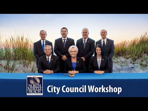
Waterside developers asked the North Myrtle Beach City Council at a workshop to allow more housing units in one neighborhood so they can build a span bridge and avoid placing box culverts through a drainage way that would remove trees.
Waterside developers asked the North Myrtle Beach City Council at a workshop to allow more housing units in one neighborhood so they can build a span bridge and avoid placing box culverts through a drainage way that would remove trees.
The request, the developers said, would fund a span bridge that preserves an existing grove of trees along the drainage corridor. In return the developer asked to raise the neighborhood’s unit count from what was currently entitled (discussed as either 89 or 91 in the meeting record) toward 100. Council members and planning staff discussed trade-offs including emergency access, buffers, and lot sizes; they agreed to send back a revised plan that reduces the proposed increase and preserves the trees for further staff review before a future meeting.
The discussion centered on how to balance tree preservation against long-term density. Shep, a developer representative, explained the engineering trade-offs and said the span bridge “spans from side to side” and “doesn’t touch the existing drainage way,” making it the preferred option to protect the tree stand. He said the bridge design would be wide enough to carry emergency vehicles and larger construction vehicles. He also described reintroducing a stormwater pond and a bermed buffer so lots would not back up directly onto each other.
Planning staff confirmed the project’s entitled unit count had been a point of confusion during the meeting; Jim, a city planning staff member, noted that the figures in earlier exhibits varied but that, taken together with the other neighborhoods in the overall Planned Development District (PDD), the three combined neighborhoods represent a net reduction in units compared with the original entitlement. Planning staff also noted that the city’s standard practice typically requires two means of ingress and egress for developments of this size, but waivers and mitigation (for example, widening the primary leg and the road throat) have been used in past projects where topography or environmental features are being preserved.
Council members pressed the developer on several specifics the plan showed: the buffer along the lower section near the waterway would be a dedicated 30-foot strip conveyed to and maintained by the homeowners association rather than being part of individual lots; the smallest approved house plan in the overall project base is about 1,400 square feet; and the smaller lots in the neighborhood are 41 feet wide by roughly 130 feet deep. Developers confirmed homes on the lots are for sale, not rentals, and said individual or cluster mailboxes would be provided in the neighborhood.
Council members said they favored preserving trees where practical but were reluctant to accept large increases in density. Councilwoman Fontana said she liked “the lower density” and the buffering; another council member suggested several lot-combination options (for example turning 2–4 small lots into larger “green” lots) that would reduce unit counts while retaining premium waterfront lots. The developer said the $700,000 difference for the span bridge was the sticking point in negotiations about how many additional units could be supported.
After discussion the group converged on a compromise layout for the neighborhood that reduces the developer’s initial increase; council members and the developer agreed to revise the exhibited plan and return it to staff. A staff review will precede any formal zoning or PDD amendment coming back to council.
City staff also addressed safety and service concerns. Planning staff said the single crossing alternative can be made acceptable for emergency access if the throat and approach are widened to meet fire apparatus needs and signed appropriately; the city’s fire engineer (Greg Fraser was cited during the discussion) had previously reviewed similar designs to ensure capacity for multiple trucks and an open lane if one vehicle stopped.
The council did not take a formal vote on a zoning amendment or final approval at the workshop. Instead, members asked the developer to produce a revised plan reflecting lower net density, preservation of the tree grove by using the span bridge option, the 30-foot dedicated buffer conveyed to the homeowners association, and the road-width mitigations discussed. The revised plan will be circulated to staff and returned to the council at a subsequent meeting for further review.
The workshop also served to clarify several exhibit errors in the packet that prompted multiple numeric comparisons during the discussion; staff said they would reconcile the exhibits before the next public submittal.