Get Full Government Meeting Transcripts, Videos, & Alerts Forever!
Council debates mapped Jowler Road corridor, developer offers shifted alignment and escrow for Tract A acquisition
Summary
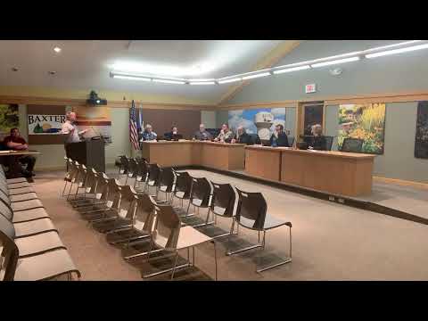
City staff and council members discussed a developer proposal to shift the officially mapped Jowler Road corridor north, the implications for a small city-owned parcel called Tract A, and options for acquiring the remaining land needed to complete the corridor.
City staff and council members spent the meeting reviewing a developer proposal to shift the officially mapped Jowler Road corridor north of its current alignment near the Southdale soccer fields off Mount Nash and Jericho Road.
The discussion centered on whether the city should keep the existing official mapping that would require the developer to construct the road across a narrow area the city owns (Tract A) or allow the developer to move the 80-foot right-of-way north onto mostly private property and escrow money to allow the city to acquire Tract A if needed. Staff said the corridor was officially mapped in 2016 and that the city previously acquired part of the corridor from John Lemire to preserve future connection rights.
Why it matters: Jowler Road is planned as an east–west connector. Council members and staff said shifting the mapped corridor could reduce near-term acquisition costs (saving roughly two acres of condemnation) but may leave a roughly 200-foot gap to Second Street that the current developer says it will not build. That gap could require future city action and expense if surrounding owners do not develop.
Staff described three options: (1) require the developer to construct…
Already have an account? Log in
Subscribe to keep reading
Unlock the rest of this article — and every article on Citizen Portal.
- Unlimited articles
- AI-powered breakdowns of topics, speakers, decisions, and budgets
- Instant alerts when your location has a new meeting
- Follow topics and more locations
- 1,000 AI Insights / month, plus AI Chat