Get Full Government Meeting Transcripts, Videos, & Alerts Forever!
Get email alerts on the Land Use Subdivision topic
No spam. Unsubscribe anytime.
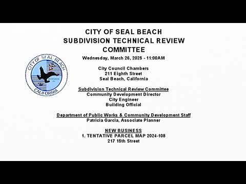
Seal Beach technical review committee approves split of 217 Fifteenth Street into two 25-foot lots with conditions
Summary
The Subdivision Technical Review Committee on March 26 approved Tentative Parcel Map 2024-108 to divide the residential property at 217 Fifteenth Street in Old Town into two 25-foot-by-100-foot parcels, finding the proposal complies with the California Subdivision Map Act and Seal Beach municipal code.
The Subdivision Technical Review Committee on March 26 approved Tentative Parcel Map 2024-108 to divide the residential property at 217 Fifteenth Street in Old Town into two 25-foot-by-100-foot parcels, finding the proposal complies with the California Subdivision Map Act and Seal Beach municipal code.
Patricia Garcia, associate planner, presented the application and told the committee the proposal would split the existing 50-foot-by-100-foot lot into two 2,500-square-foot parcels and that staff recommends exemption from CEQA under the categorical exemption for minor land divisions (Class 15). Garcia said the site’s zoning designation is Residential High Density 20 (RHD 20) and that the proposed parcels “meet the minimum lot dimensions and area requirements in the RHD 20 zone.”
Why it matters: dividing the lot alters development potential and triggers review of setbacks, utilities and public-safety access. Committee members and residents pressed staff on whether the existing house can meet required setbacks, how the city verified historical property lines and how narrow streets in the area affect emergency response.
During public comment, Melody Costello, an adjoining property owner, said she is “concerned” the map’s property line may not reflect past on-site work and that inaccurate records could affect future sales of 213 Fifteenth Street. Don Mabe, a long-time neighbor, opposed the split citing congestion and narrow street widths. Brad Hunts asked whether the RHD 20 designation allows multi-unit buildings and expressed concern that the vacant parcel could later be developed as a multi-unit apartment.
Committee and staff responses: Catherine Cho, city engineer, said a consultant specializing in the Subdivision Map Act had reviewed old surveys and county records and that the legal description submitted with the map was verified against those sources, though staff agreed to recheck the description. A planning manager on the panel explained that RHD 20 allows 20 dwelling units per acre (about one unit per 2,100 square feet) and that a 50-by-100-foot lot could be developed as a duplex by right; splitting into two 25-by-100-foot lots would generally allow one primary unit on each parcel under current density standards. Staff also noted that state law allows accessory dwelling units, which can affect unit counts on single-family lots.
Safety and process notes: residents raised emergency access and parking concerns for Thirteenth through Seventeenth streets, which are narrower than newer streets. Committee members clarified that building plans will undergo departmental plan checks — including review by OCFA (Orange County Fire Authority) — before final map approval or building permits are issued. The committee said those department-level reviews are the appropriate stage to assess fire-safety measures, sprinklers and contractor staging.
Conditions and correction: staff recommended, and the committee adopted, conditions requiring the existing house to be modified to meet the city’s development standards (setbacks, etc.) before the final map is approved. The committee also instructed a wording correction to the draft resolution (section 5.b) so it accurately reads that the tentative parcel map “proposes to subdivide 1 existing 50-foot wide by 100-foot deep parcel into 2 25-foot wide by 100-foot deep parcels.”
Formal action: the committee moved to find the project meets the Subdivision Map Act and the Seal Beach municipal code, approved the CEQA categorical exemption citation, and approved Tentative Parcel Map 2024-108 subject to the conditions in the resolution including the required house modifications and the language correction. A roll-call tally was not read into the record; the committee chair announced, “I vote yes. Motion passes.”
Next steps: the applicant (not present at the hearing) must complete the conditions listed in the resolution and show compliance in the final map and building plan-check processes before the lot split becomes effective.