Get Full Government Meeting Transcripts, Videos, & Alerts Forever!
Glendora staff: updated CAL FIRE hazard maps expand foothill risk; city must adopt maps within 120 days
Summary
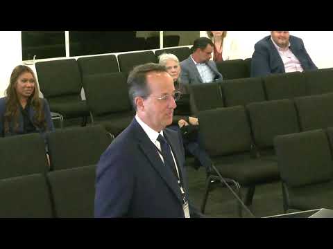
City Manager Adam Raymond told the Glendora City Council that CAL FIRE's 2025 fire hazard severity zone update expands areas near the foothills — notably South Hills — increasing the number of properties facing defensible-space and wildland‑urban‑interface building-code requirements and giving the city 120 days to adopt the maps by ordinance.
City Manager Adam Raymond told the Glendora City Council that CAL FIRE’s updated fire‑hazard severity zone maps enlarge the areas considered very high, high and moderate fire risk in and around Glendora, singling out South Hills as newly included in the very‑high category. Raymond said the city has 120 days to adopt the state maps by ordinance and can choose to expand mapped areas but cannot shrink them.
Why it matters: The change would increase the number of homes subject to defensible‑space rules and to wildland‑urban‑interface (WUI) building standards for new construction or renovations, and could affect how residents and planners approach vegetation management, building materials and permitting.
Raymond told the council that the new maps increase the city’s very‑high…
Already have an account? Log in
Subscribe to keep reading
Unlock the rest of this article — and every article on Citizen Portal.
- Unlimited articles
- AI-powered breakdowns of topics, speakers, decisions, and budgets
- Instant alerts when your location has a new meeting
- Follow topics and more locations
- 1,000 AI Insights / month, plus AI Chat