Get Full Government Meeting Transcripts, Videos, & Alerts Forever!
Get email alerts on the Lake District Callahan Mud topic
No spam. Unsubscribe anytime.
Committee recommends county board consider lake-district boundaries after residents protest inclusion
Summary
Sawyer County Land, Water and Forest Resources Committee voted to forward the Callahan and Mud Lake district petition with its original boundaries to the County Board after multiple residents urged removal of landlocked properties that would face potential special taxation.
The Sawyer County Land, Water and Forest Resources Committee voted to recommend that the County Board consider the Callahan and Mud Lake district petition with the boundaries proposed by the petitioners, after hearing multiple residents who said their properties lack lake access and should be removed.
The recommendation matters because approving the petition and its boundaries would allow formation of a lake district that can levy special assessments and taxes for lake projects. Several residents told the committee they fear higher property taxes and special assessments if their land remains included.
Resident David Wegener of 11123 West Chief River Road said his parcel is landlocked and has “absolutely 0 access” to the lake, and asked the committee to remove his property from the proposed district. “I have 0 access, there’s no reason that I should be included in this Lake District,” Wegener said during the public comment period.
Lynn Amundsen, speaking for the Callahan Mud Lake Association and the Exploratory Dam Committee, urged the committee to consider the petitioners’ justification and cited Wisconsin statute 33 as supporting inclusion of properties that “could reasonably be considered part of a lake community.” Amundsen asked the committee and the board to review GIS maps and to include vacant parcels with future shoreline development potential.
Rhonda Isold, who said her property fronts the Chief River and not the lakes, said the petition’s boundaries “overextended” to include landlocked parcels and as a result could increase property taxes by “over 30%” for some owners. “I respectfully ask that you recommend removal of our property and other properties from the proposed Lake District,” Isold told the committee.
Martin Hansen, who said his remarks addressed lake districts generally as well as the Callahan-Mud proposal, argued lake districts are designed for long-term management and that petition organizers typically choose boundaries carefully. “When this standard is met, the organizers have carefully chosen the boundary after many iterations and discussions, and ultimately, the 51% or more have clearly accepted that boundary,” Hansen said.
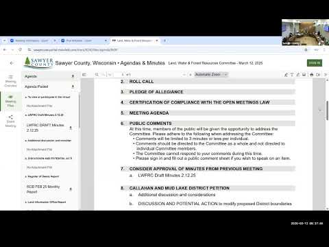
Committee staff displayed maps showing the proposed green boundary and a number of parcels highlighted as removal requests, including several in the Falcon Ridge area. Committee members discussed that properties can be removed from a district at the county’s recommendation and that lake districts themselves can later change boundaries according to statutory procedures.
After discussion, a committee member moved to accept the boundaries as drafted by the petition organizers and forward that recommendation to the Sawyer County Board of Supervisors; another committee member seconded. The chair called the question and the motion carried by voice vote. (A roll-call tally was not recorded in the meeting transcript.)
The committee and public speakers also noted the petition includes vacant shoreline parcels and that petitioners anticipate some new construction. Committee staff said the petition and the committee’s report are now with the County Board for its consideration at a future meeting.
The committee did not make a final, binding decision on the petition; it chose to forward a recommendation to the County Board. The board will take final action when it considers the petition and any boundary modifications.
Details that remain unresolved include the final, adopted boundary if the County Board modifies it and whether individual parcels will be removed before any district formation. The record shows multiple residents asked for removal of specific parcels (identified in Exhibit G and on the committee’s GIS maps).