Get Full Government Meeting Transcripts, Videos, & Alerts Forever!
Get email alerts on the Land Use Industrial Corridor topic
No spam. Unsubscribe anytime.
Gulf County holds first reading on 3,380‑acre industrial land‑use amendment as annexation dispute advances
Summary
The Gulf County Board of County Commissioners held a first reading and public hearing on a proposed comprehensive‑plan amendment that would change roughly 3,380 acres from agricultural to industrial use.
The Gulf County Board of County Commissioners held a first reading and public hearing on a proposed comprehensive‑plan amendment that would change roughly 3,380 acres from agricultural to industrial use.
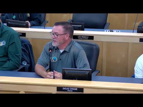
County Attorney Doug Crane read the ordinance aloud and told the board, “This is the first requirement under the statute to have a public hearing.” He said no final action would be taken at the meeting and that a second reading and formal vote will be scheduled after state review and required notices.
Why this matters: the amendment would reserve a sizeable contiguous area for future industrial development along an existing industrial corridor. Supporters said the map change creates a place to attract employers and avoids later conflicts when housing is built near industrial operations. Opponents and public commenters said the proposal needs clearer, mapped protections for nearby waterways, wetlands and the Gulf County Canal and asked the county to preserve shorelines and spoil‑easement areas.
Discussion and public comments: Commissioners and county staff spent extensive time examining where to draw the industrial boundary to leave buffer acreage along the canal and other tidal channels. Several commissioners urged a cautious approach and asked staff to verify federal Corps of Engineers spoil‑easement lines that run along the canal so the county’s maps reflect the federal right‑of‑way and any related limits on development. Members of the public, including residents and environmental advocates, asked for stronger assurances that future development would not be permitted where it could harm tidal habitats.
Legal and process context: County legal staff confirmed the ordinance before the board is a future‑land‑use map amendment only; specific setbacks, buffer widths and development standards would be handled later in local land‑development regulations and permit reviews. The county otherwise requires property‑level surveys and regulatory approvals before issuing building permits.
Annexation litigation update: County counsel reported related mediation is under way after the city’s recent annexation vote involving an industrial parcel (the parties previously discussed a Premier Chemical–era parcel). Counsel said mediation is the next step; if mediation fails the county will pursue judicial relief under the statutory process for contested annexations. Counsel also told the board that a recording of the city’s March 4 meeting — which residents had asked the county to review — was not preserved on the city website beyond a brief public‑comment excerpt, a gap county counsel said makes the forthcoming mediation and record review more urgent.
What’s next: The ordinance will be submitted to state reviewing agencies (per statute) and brought back for a required second reading and adoption vote after agency comments. County staff said they will provide more detailed maps showing Corps easement locations and other overlays before the next hearing so commissioners and the public can see proposed buffers and limits to development.
Ending: The county conducted the required first reading and public hearing but took no final action; commissioners directed staff to supply the more detailed survey and easement mapping that people asked for before the second reading.