Get Full Government Meeting Transcripts, Videos, & Alerts Forever!
Get email alerts on the Agricultural Forestry Conservation topic
No spam. Unsubscribe anytime.
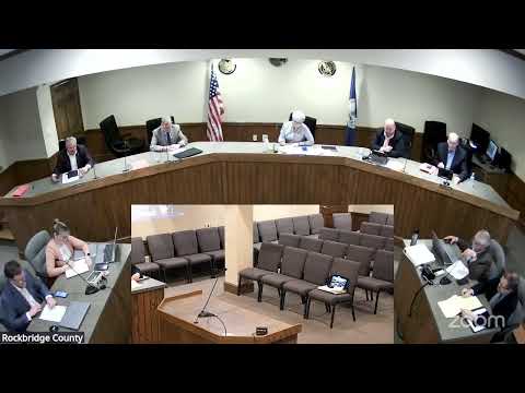
Rockbridge supervisors approve Irish Creek agricultural-forestal overlay district
Summary
After a public hearing, the Rockbridge County Board of Supervisors unanimously approved a four-year Agricultural and Forestal Overlay District for roughly 430 acres along Irish Creek, giving participating landowners voluntary protections and access to land-use tax assessment.
The Rockbridge County Board of Supervisors on March 24 approved an ordinance establishing the Irish Creek Agricultural and Forestal Overlay District, a voluntary conservation overlay that covers about 430.445 acres and runs along Irish Creek in the South River magisterial area.
The district was created after a public hearing and follows unanimous recommendations from the county’s Agricultural and Forestal Advisory Committee and the Planning Commission. The district’s core area totals about 283.189 acres; non-core parcels eligible to join within one mile total about 147.256 acres, according to materials presented to the board.
Under state law and the draft local ordinance, landowners who join an ag-forest district agree not to convert their property to more intensive, non‑agricultural or non‑forest uses during the district term. The board approved a four‑year term. The county, in turn, agrees not to enact local investments or ordinances that would place increased development pressure on participating landowners during the term.
Planner/staff member Mister Sladen presented the draft district and map to the board, explaining core and non‑core parcel boundaries and the statutory framework for districts. Sladen said, “Districts are a rural conservation overlay reserved for the production of agricultural products, timber, and maintenance of open space land.” He told the board that the core must be at least 200 contiguous acres and that any landowner within one mile of the core edge may join.
Landowners who spoke at the hearing backed the proposal. Eric White, a South River resident and landowner, said he supported the overlay and described it as “an opportunity to do something like this” that helps neighbors preserve the valley. Tony Tyre, also a landowner on Irish Creek, told the board that 10 landowners have applied and expressed support for unanimous approval.
The Planning Commission recommended two conditions that the draft ordinance reflects: that applying landowners agree not to subdivide into more intensive uses for the term of the district, and that new non‑agricultural buildings be limited except for dwellings for immediate family or for persons who earn a substantial part of their livelihood from agricultural or forest operations on the same property. The board’s ordinance also reflects statutory provisions that, among other things, require local planning decisions to take the district into account and restrict special taxes for most property inside a district.
During the hearing supervisors asked procedural questions about renewals and withdrawal. Staff explained the district term expires after the selected period (four years here) and landowners may apply to renew; state law provides limited withdrawal pathways (including heirs’ rights following a landowner’s death) and allows occasional withdrawals for specified reasons. Staff also noted that land in a district that is used for agricultural or forest production automatically qualifies for land‑use assessment, provided the statutory qualifications are met.
The motion to adopt the ordinance carried by unanimous roll call vote (five ayes). The approved ordinance did not specify an ordinance number at the time of the meeting.