Get Full Government Meeting Transcripts, Videos, & Alerts Forever!
Council delays final vote on Plan Bentonville map; residents press to keep 3509 E. Central suburban
Summary
Council accepted public comment and sent the proposed Plan Bentonville future land use map back to planning commission for clarification on several areas, including a contested parcel at 3509 East Central where neighbors asked to preserve suburban single‑family character.
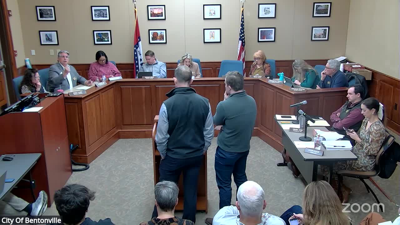
Bentonville — The council paused final action on Plan Bentonville’s revised future land use map on Jan. 28 and directed staff to return to the planning commission for a clarified, final version after extended public comment and council discussion about several map areas.
The planning commission had acted earlier and recommended changes to the draft map; staff presented the recommended map and the process for public input. City planning staff and the consultant described the project as a partial rewrite of chapters 2 and 4 of the community plan, shifting the city’s approach from broad “strategic growth zones” to place‑type guidance (for example: downtown, neighborhood centers, walkable corridors and suburban neighborhoods).
A large group of residents from Stonebridge Way and neighboring streets urged the council to designate the 3‑acre/12‑acre parcel complex addressed as 3509…
Already have an account? Log in
Subscribe to keep reading
Unlock the rest of this article — and every article on Citizen Portal.
- Unlimited articles
- AI-powered breakdowns of topics, speakers, decisions, and budgets
- Instant alerts when your location has a new meeting
- Follow topics and more locations
- 1,000 AI Insights / month, plus AI Chat