Get Full Government Meeting Transcripts, Videos, & Alerts Forever!
Planning commission adopts Plan Bentonville resolution after public comment on Highway 72 and walkable corridors
Summary
The commission adopted the Plan Bentonville future land‑use map and alignment policy resolution and directed staff to return with final map edits after studying three specified areas. Residents testified for and against denser walkable designations near Highway 72; the commission passed the resolution 7–0.
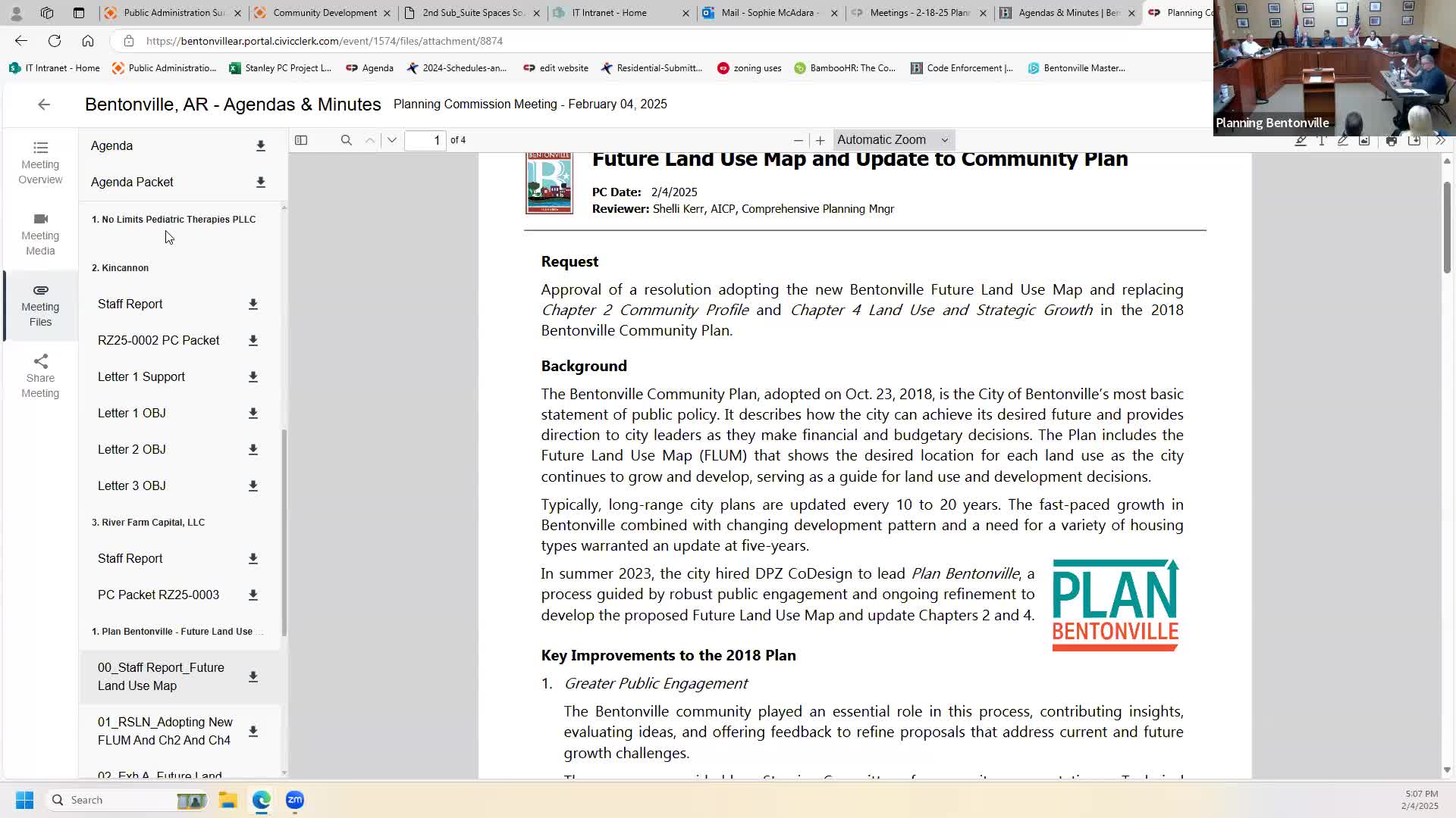
The Bentonville Planning Commission voted to adopt the Plan Bentonville future land‑use map and alignment policy resolution after an evening public hearing that drew multiple neighbors who urged different land‑use outcomes for the Highway 72 area. The commission passed the resolution by roll call, 7–0, and staff said it will study several specified areas and return with recommended edits.
Tyler (city staff) told commissioners the item returned after city council raised concerns about noticing and asked planning staff to bring the final draft back to the commission for review. The adopting resolution includes an Exhibit D that staff and the city attorney recommend be used to identify three study areas for follow‑up: (1) the J Street interchange area, (2) the square and its proximity for historic preservation, and (3)…
Already have an account? Log in
Subscribe to keep reading
Unlock the rest of this article — and every article on Citizen Portal.
- Unlimited articles
- AI-powered breakdowns of topics, speakers, decisions, and budgets
- Instant alerts when your location has a new meeting
- Follow topics and more locations
- 1,000 AI Insights / month, plus AI Chat