Get Full Government Meeting Transcripts, Videos, & Alerts Forever!
Get email alerts on the Planning And Land Use topic
No spam. Unsubscribe anytime.
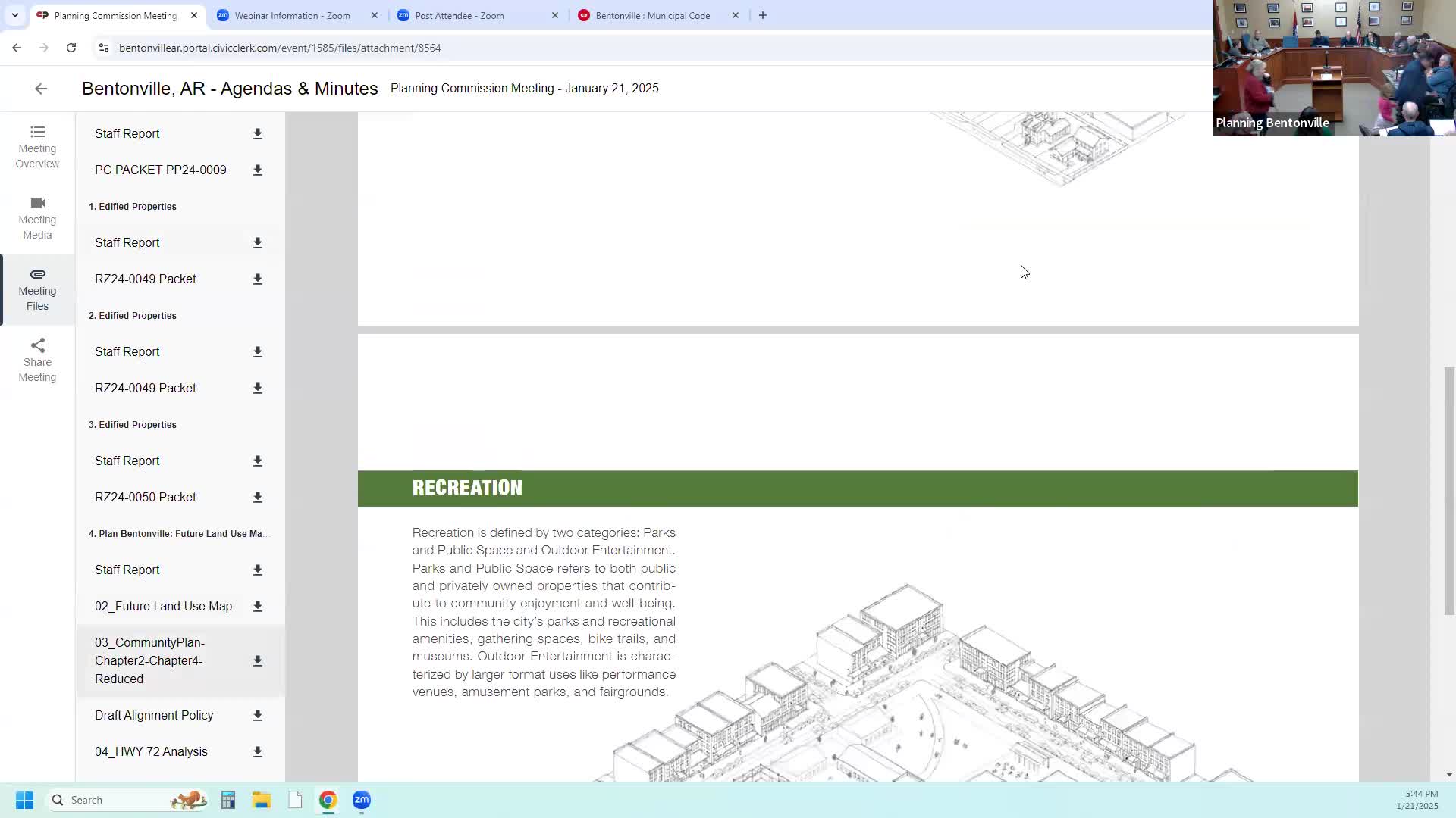
Planning commission adopts Plan Bentonville future land use map, forwards it to City Council
Summary
The Bentonville Planning Commission voted unanimously to adopt the new Plan Bentonville future land use map and replace chapters 2 and 4 of the 2018 community plan, sending the implementing resolution to City Council and directing staff to begin code alignment work.
The Bentonville Planning Commission on Wednesday voted 5-0 to adopt the new Plan Bentonville future land use map and to replace chapters 2 and 4 of the city's 2018 community plan, forwarding a resolution approving the map and the alignment policy to the City Council for final consideration.
The adoption updates the community profile and the land-use and strategic growth guidance that will steer where the city plans for houses, offices and commercial areas over the next 25 years. "This is our fundamental planning document," said Tyler, a city planner, during the commission's presentation. He described Chapter 2 as the city's demographic and projection work and Chapter 4 as the land-use and growth strategy that ties site-level requests to infrastructure planning.
Commissioners and staff emphasized that the map is intended to guide future rezoning decisions rather than automatically change property zoning. Tyler told the commission that the plan shows a range of possible outcomes: under a very high growth scenario the city could reach roughly 230,000 people, while a lower rate projects about 160,000; the map's maximum potential buildout was described in the packet as about 211,000 people. Staff also committed to an annual review of the plan and to begin a code-alignment phase on Feb. 18 so the land-use map and the zoning/development code match one another.
Public comment on the draft focused on traffic and neighborhood character in specific corridors. Rinki Singh, a nearby resident, asked the commission to consider the capacity of Central Avenue (Highway 72) and urged caution where higher-intensity uses meet single-family neighborhoods. "The Central Avenue at this location is a state highway," she said, noting limited right-of-way for expansion.
Other speakers near Woods Creek and Kensington voiced similar concerns, asking for transitions that protect existing single-family areas. John Butler, a neighborhood resident, told commissioners he opposed a high-rise proposal cited in the public record and urged lower-intensity alternatives for that site.
After public comment, commissioners discussed several mapping options for the corridor around Highway 72 and the Woods Creek area. The commission adopted a modified alignment for that vicinity: the commission agreed to show suburban-neighborhood designations on the north side adjacent to existing single-family neighborhoods and to keep a walkable-corridor designation on the south side near the commercial frontage. The commission also instructed staff to treat the Conveyor/Lockheed corridor so that the portion south of the historic railroad shows as walkable neighborhood and the portion north of the railroad as urban neighborhood, to better reflect recent rezoning and development patterns.
The commission also amended the draft alignment policy to make consideration of adequate infrastructure part of standard review for rezonings in some cases, not only part of enhanced review; commissioners said this gives staff and the commission clearer footing to weigh traffic and utility capacity before approving higher-intensity zoning.
The commission's approval was unanimous. Commissioners recorded a 5-0 vote in favor of the resolution adopting the Plan Bentonville map and the alignment policy and forwarding the matter to the City Council for final action. Staff said the next steps will be to clean up the adopted map, present it to the City Council next week, and begin a coordinated process to bring the zoning and development code into alignment with the new map and place types.
For residents, the adoption establishes a policy framework and a calendar for further work, but any specific rezoning, subdivision or development proposal will still require separate public hearings and votes.