Get Full Government Meeting Transcripts, Videos, & Alerts Forever!
Get email alerts on the Property Assessment Technology topic
No spam. Unsubscribe anytime.
Lincoln officials demonstrate aerial AI mapping tool to find unpermitted work, track damage and support enforcement
Summary
Town staff demonstrated a commercial aerial imagery and AI mapping system and asked the board to budget for the tool to help the tax assessor, building, engineering and public works departments detect unpermitted work, monitor infrastructure and recover lost tax revenue.
Town staff presented a commercial aerial-imagery and AI mapping tool and asked the board to include it in the town’s operating budget to help the tax assessor, building inspectors, engineering and public works departments monitor properties, detect unpermitted work and identify infrastructure issues.
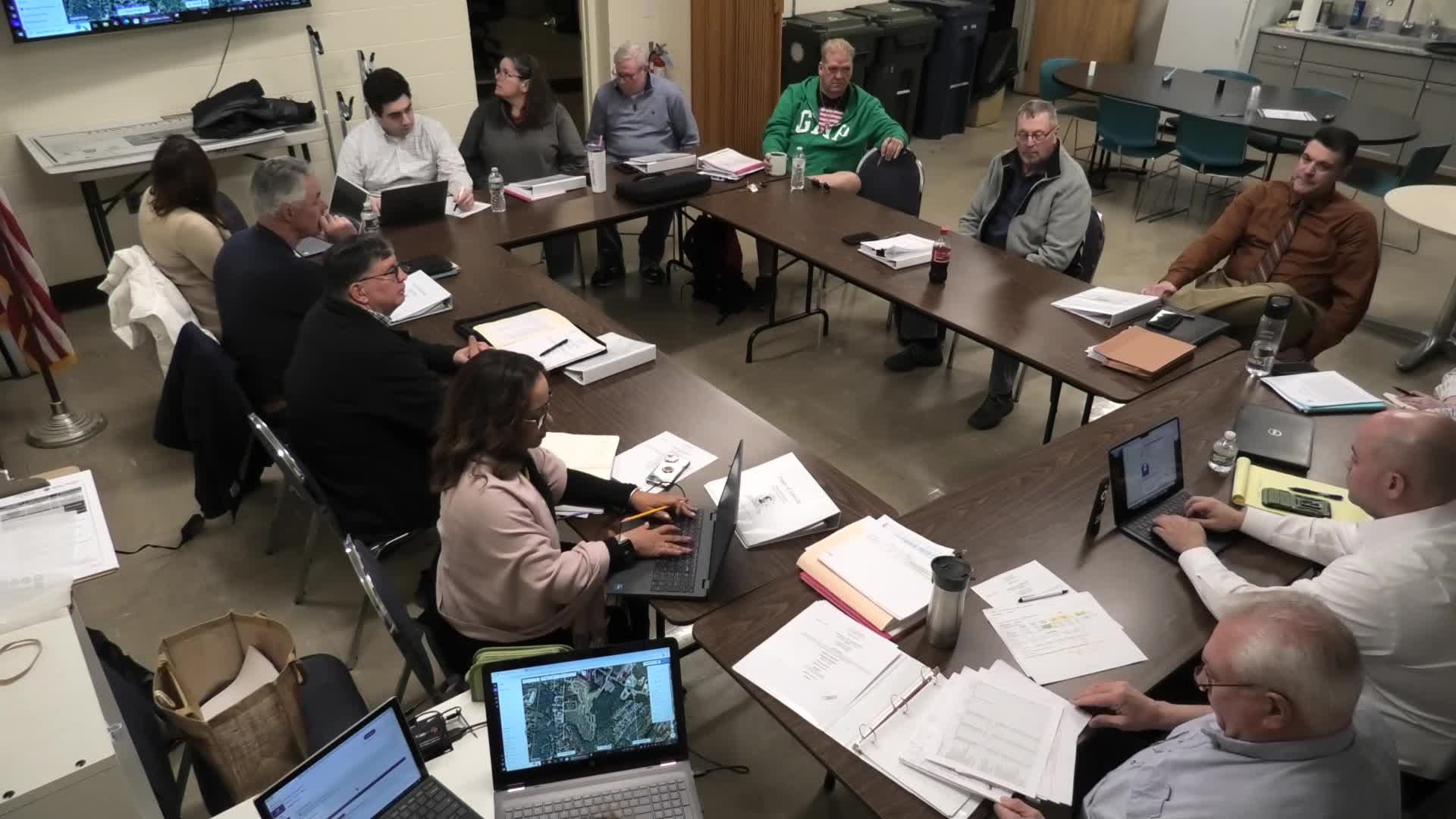
The request came during a demonstration by the tax assessor’s office. Brenda Keeble, the town’s tax assessor, showed how the system can provide high-resolution oblique and vertical views, historical comparisons back to February 2014, measurement tools and AI layers that flag features such as pools, solar arrays, missing roof shingles, cracked pavement and debris.
Keeble said the tool can help identify work that was done without permits, correct assessment records and support enforcement. She showed examples from the town’s trial access: a completed in-ground pool that had been filled in (reducing a taxpayer’s assessment), a pool and cabana that were photographed in place despite the property owner telling inspectors the work was unfinished, and a case where town staff used the measuring tool plus a survey to apportion square footage between Lincoln and an adjacent municipality for tax purposes.
Why it matters: the assessor’s office and building inspections rely on permits and on-site inspections to capture taxable improvements. Keeble told the board that when residents deny access or inspectors cannot safely enter backyards, aerial imagery lets staff see additions, pools, solar panels and similar features without trespassing. The tool also produces data that town engineers and DPW staff could use for stormwater, road-crack mapping and prioritizing repairs.
Cost and vendor details discussed: Keeble compared local flyover prices and vendor packages. She said a single EagleView-style flyover for a jurisdiction Lincoln’s size would be roughly $11,000 and that a multi-feature annual package combining two flyovers and basic AI features was quoted to the town at $9,800 per year. Keeble said a lower-tier AI package (AI basic) is about $1,500 per year, and the vendor’s “AI advanced” tier (which includes debris, road-crack and other detection layers) requires a separate quote; staff said they will try to obtain that price and return to the board. Keeble also noted the service can archive imagery back to 02/2014 and that some neighboring communities (East Providence, Melrose, Attleboro were mentioned) use similar systems.
Limitations and follow-up items noted in the meeting: staff said measurement accuracy (for close setback or property-line decisions) still needs verification; Keeble agreed to confirm the tool’s measurement tolerances with the vendor. She also said trees and canopy cover limit detection of some items, and image quality can vary by display hardware. On the regulatory side, Keeble said the assessor can flag suspected unpermitted improvements and notify the building department, but enforcement (inspections, certifications or penalties) remains the building department’s responsibility. The town currently lacks a filled code-enforcement/zoning position, and board members stressed that any detection program will require coordination with building inspectors and outreach to residents so sightings are handled with notice and due process.
Other technical and policy points raised: Keeble said the system identifies many rooftop solar installations (she estimated — as a rough figure — a large increase in local solar over the past three years and noted multiple arrays that were not on the town’s records), distinguishes above-ground pools (not assessed) from in-ground pools (assessed), and can surface potential insurance-related issues such as missing shingles. She also said the imagery records can be used to support assessment corrections and that, in principle, the town could seek retroactive tax adjustments for up to six years where taxable work was not reported; staff said the town has not routinely done six-year challenges and would review legal and administrative constraints before pursuing that option.
Board direction: staff asked the board to approve adding the base package (two flyovers plus the basic AI viewer) to the operating budget and to allow staff to obtain a full quote for the AI advanced tier. No formal vote was held; staff said they will return with the vendor’s full pricing, a written scope of services, and answers about measurement accuracy and data-retention options.
Ending: Keeble and other staff recommended the tool as a cross-departmental resource for assessment accuracy, code compliance leads and infrastructure planning; the board deferred budget approval pending the vendor quote and follow-up answers about measurement precision and enforcement procedures.