Get Full Government Meeting Transcripts, Videos, & Alerts Forever!
State geospatial program describes GIS hub, parcel dataset and daily web service usage to appropriations committee
Summary
The state's geospatial program manager briefed the committee on the GIS hub, parcel program and web services that support agencies and the public, and described an $89,000 add and a $65,000 reduction in other funds in the long sheet that staff will confirm.
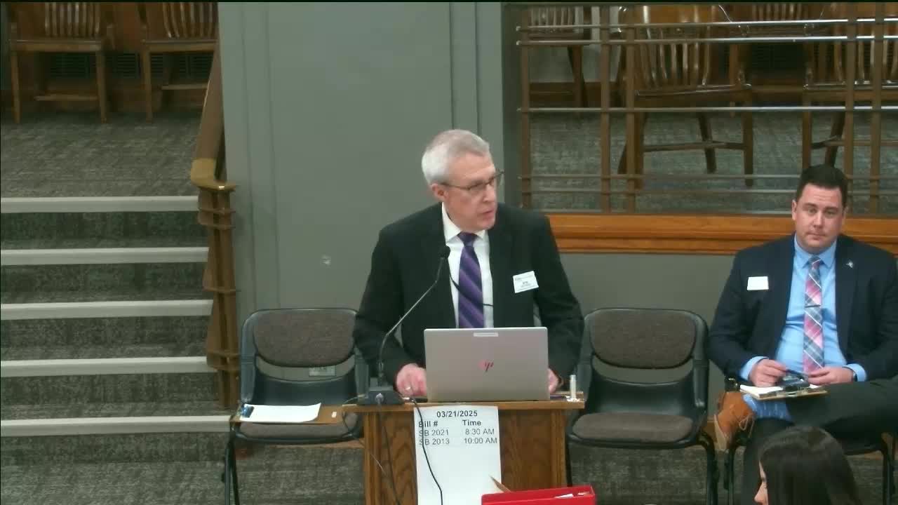
Bob Nooch, geospatial program manager at the Information Technology Department, told the appropriations committee the geospatial program reduces barriers to using mapping and location‑based data and that collaboration through a state geospatial committee (SGC) supports agency data stewardship. He said the GIS hub — a 23‑year‑old core infrastructure — provides data storage, web…
Already have an account? Log in
Subscribe to keep reading
Unlock the rest of this article — and every article on Citizen Portal.
- Unlimited articles
- AI-powered breakdowns of topics, speakers, decisions, and budgets
- Instant alerts when your location has a new meeting
- Follow topics and more locations
- 1,000 AI Insights / month, plus AI Chat