Get Full Government Meeting Transcripts, Videos, & Alerts Forever!
Get email alerts on the Geospatial topic
No spam. Unsubscribe anytime.
State geospatial program describes GIS hub, parcel dataset and daily web service usage to appropriations committee
Summary
The state's geospatial program manager briefed the committee on the GIS hub, parcel program and web services that support agencies and the public, and described an $89,000 add and a $65,000 reduction in other funds in the long sheet that staff will confirm.
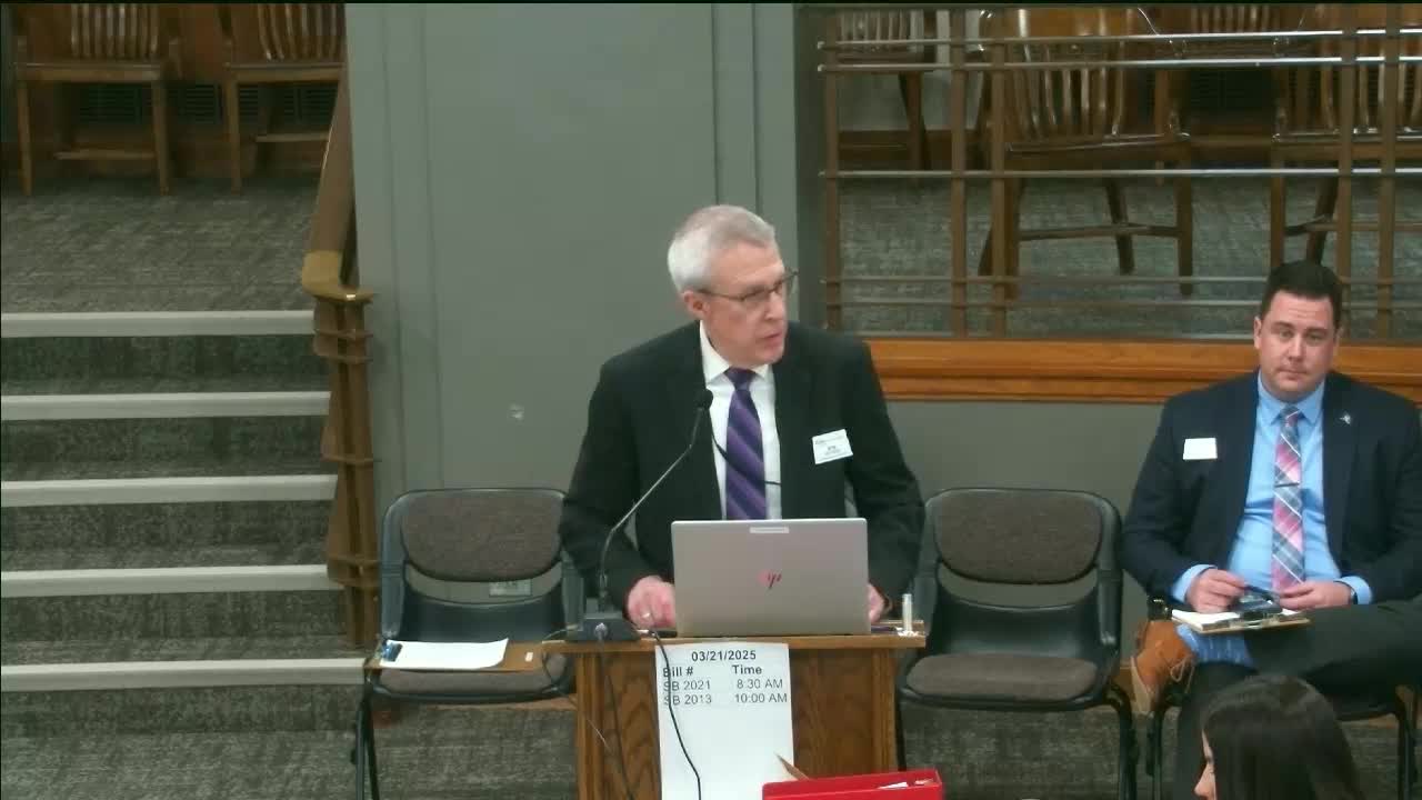
Bob Nooch, geospatial program manager at the Information Technology Department, told the appropriations committee the geospatial program reduces barriers to using mapping and location‑based data and that collaboration through a state geospatial committee (SGC) supports agency data stewardship. He said the GIS hub — a 23‑year‑old core infrastructure — provides data storage, web services and maps to state agencies, other governments and the public.
Nooch said the hub hosts roughly 280 datasets and 65 additional documents, applications and maps. He said the parcel program aggregates parcel boundaries and tax roll data from all 53 counties, noting near‑complete county participation and that the hub lets counties and agencies repurpose existing infrastructure with minimal additional costs.
Committee members asked about budget adjustments shown on the long sheet: an $89,000 add to the geospatial item and a $65,000 reduction from other funds. Deputy CIO Greg Hoffman said the adjustments were part of a broader exercise to align general‑fund levels and other fund authority and that staff would double‑check the specific add for Wednesday’s follow‑up.
Nooch cited usage numbers: an average of about 381,000 web service requests per day (last year), and roughly 58,000 daily web service requests specifically for the statewide parcel dataset over the past six months. He told members the program’s value appears in both statistics and user feedback, including inquiries from businesses that use open data to evaluate locations for investment.