Get Full Government Meeting Transcripts, Videos, & Alerts Forever!
Get email alerts on the Land Use topic
No spam. Unsubscribe anytime.
Fairbanks staff previews plan to rezone 459-acre tract for remote recreational parcels; public hearing set
Summary
Borough planning staff briefed the Assembly committee of the whole on an ordinance to rezone about 459 acres along the Chattanooga River from General Use 1 to the Remote Recreation Site zone; no vote was taken and a public hearing with Natural Resources representatives is scheduled.
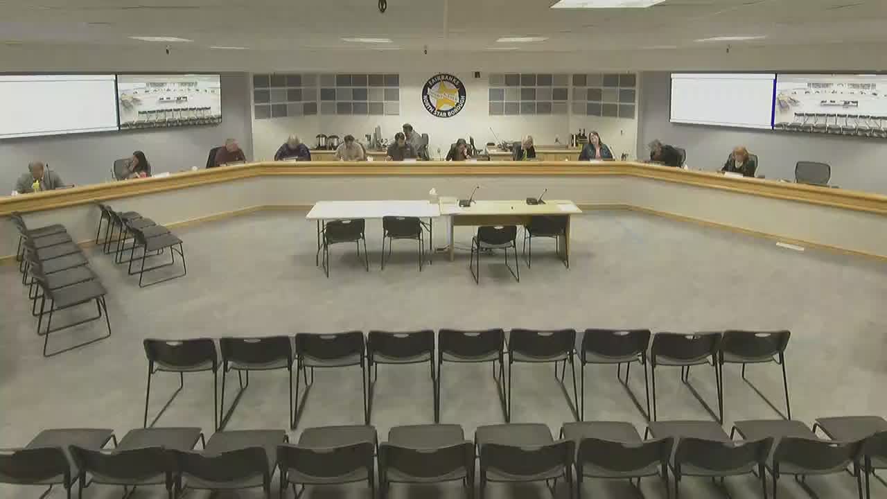
Melissa Kellner, a planner in the Community Planning Department, gave a staff briefing to the Fairbanks North Star Borough Assembly committee of the whole on an advanced ordinance to rezone roughly 459 acres southwest of the Elliot Highway and north of the Chattanooga River from General Use 1 (GU1) to the Remote Recreation Site zone.
Kellner said the rezone request comes from the borough’s Natural Resources Development Division and is intended to allow subdivision and public land sales. "This rezone is a little bit unique in that the applicant is actually another department," Kellner said, adding the proposed zoning change aligns with the regional comprehensive plan’s land-use designation for rural settlement and several land-use goals.
The staff report summarized key features of the proposal: the subject area is about 459 acres, entirely outside the special flood hazard area; a conceptual subdivision shows 54 lots ranging from 5 to 18 acres and roughly three miles of constructed trails; and the Remote Recreation Site zone limits uses to low-density, personal-use recreational development, with a three-acre minimum lot size and 50-foot setbacks. Kellner told the assembly the Remote Recreation Site zone is new to the borough code and was written to allow small-scale development on public or private lands with limited access, often via trail, air, or water.
Assembly members asked questions but no action or vote occurred in the work session. Assemblymember Wilson asked whether the applicant intends to sell the property as a single 459-acre parcel or to subdivide and sell individual lots; Kellner said the applicant intends to subdivide but recommended the question be addressed at the public hearing because Natural Resources will attend to explain development intentions. Assemblymember Haynie asked whether rezoning will move borough land into private ownership; Kellner said the applicant intends to subdivide and make parcels available for sale. An attorney advising the assembly noted that rezoning would not by itself authorize sale and that assembly authorization would be required for any future sale.
Kellner described the public-notice steps taken: staff sent notices to 16 property owners after expanding the standard 2,000-foot notice boundary to 6,500 feet to reach at least 10 unique owners, and the applicant posted a public-hearing sign near the property. She said the planning commission held a public hearing on Feb. 11 and unanimously recommended approval, adopting a staff report and five findings of fact included in the assembly packet.
Assembly members also asked practical questions about site access and surrounds. Kellner said the proposed lots would likely access the Pete Simpson Memorial Road/Trail; she confirmed logging operations occur on the nearby Tano Valley State Forest to the west and said the logging area is less than five miles from the proposed rezone area. Kellner said more detailed maps and development answers would be provided at the scheduled public hearing.
The staff report and the assembly exchange made clear the rezone is intended to reduce incompatible uses by replacing the less-restrictive GU1 zone—where one-acre minimum lots and many more uses are permitted—with a more constrained Remote Recreation Site designation. No motion or vote was recorded during the work session; the item will return to the assembly for the formal public hearing and any subsequent actions required for subdivision or sale.