Get Full Government Meeting Transcripts, Videos, & Alerts Forever!
Get email alerts on the Open Data topic
No spam. Unsubscribe anytime.
City to publish revamped Montgomery open data hub next week, staff says
Summary
City staff presented a redesigned open data portal and said a new portal with expanded datasets and features will be published next week; presenters outlined GIS centralization and improvements for reliability and usability.
City of Montgomery staff showcased a redesigned open data portal to the council and said the new hub will be published next week.
The presentation, led by GIS supervisor Tracy Williamson and GIS manager Anita Jackson with support from Chris, operations manager for KB/Kite, outlined a retooled portal built to improve data reliability, long-term sustainment and user experience. Chris said the team rebuilt the site after inquiries into the reliability of the previously published data and that the new portal includes 911 call data, story mapping and downloadable maps.
Why it matters: Council members and staff said the portal will provide more reliable data for city staff, residents and investors, and will centralize GIS functions under Williamson. The presenters said improved automation, data collection standards and a modern user interface were priorities.
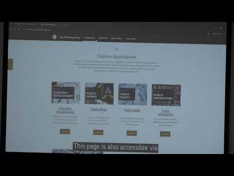
In the meeting, staff described five topical categories for the portal — economic development, public works, public safety, public information and open finance — and demonstrated a construction permit app and the open finance page. Anita Jackson was credited with leading the recent updates and launching a more sustainable system in a short timeframe.
Council members asked whether flood maps and elevation/topography would be available and whether the portal is mobile friendly. The presenters said a flood map had not yet been published but could be added, and that the platform is web-based with efforts underway to make it mobile friendly. Chris told the council the portal is scheduled to go live next week and that staff will circulate the link; staff also noted the portal will be available through the city website's Open Data page.
The presentation was informational; council did not take a formal vote during the discussion. Staff said the GIS function is now centralized under Tracy Williamson and described the portal as an operational city product rather than an action requiring additional council approvals.
The council thanked the presenters and asked staff to distribute the link when the hub goes live.