Get Full Government Meeting Transcripts, Videos, & Alerts Forever!
Get email alerts on the Land Use Zoning topic
No spam. Unsubscribe anytime.
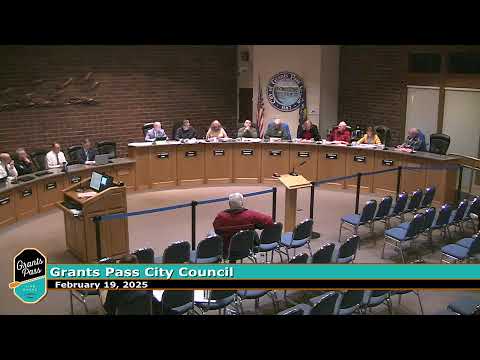
Grants Pass Council repeals zoning transition overlay, approves comprehensive plan and zoning map amendments
Summary
The Grants Pass City Council voted unanimously to adopt a comprehensive plan map amendment and a zoning map amendment that repeal the 2014 zoning transition overlay affecting 18 parcels, restoring some commercial zoning and creating capacity for new housing.
The Grants Pass City Council voted unanimously Wednesday to adopt changes to the city’s comprehensive plan map and to the zoning map that repeal a 2014 zoning transition overlay affecting 18 parcels along both sides of the Rogue River.
The action removes the transition overlay and, where requested by property owners, restores higher-density and some commercial zoning in parts of the city, staff said.
City staff member Bradley Clark summarized the package to the council, saying the 18 parcels total about 16 acres and that the repeal would allow property owners who wanted higher-density zoning the opportunity to return to that designation. “Those parcels end up being a maximum density of 87 units that could potentially be built on those properties,” Clark said in his presentation. He also said the overall maximum density figure used in staff calculations was 301 and that minimum-density requirements would increase units from 22 to about 81 in the affected area.
Clark said the planning commission recommended approval and that staff had worked with property owners during the extension of the public hearing from the February 5 meeting. He added that the city has a 120-day statutory review period that runs to May 5, and that some property owners were expecting action before that date.
Councilor Rick moved to adopt the comprehensive plan amendment for the properties identified in the staff report; Councilor Eric seconded the motion. The roll-call vote recorded: Rick, Kathleen, Joel, Indra, Eric and Victoria — all voted yes. The ordinance passed on first and second readings in the same meeting by unanimous roll call.
The council then considered the zoning map amendment that implements the comprehensive-plan changes. Councilor Kathleen moved adoption of the zoning map amendments; Eric seconded. The council again voted unanimously to approve the zoning map changes on both first and second readings.
The adopted ordinances restore about 3.59 acres of land from single-family downzoning back to general commercial in parcels that had previously been downzoned to R1-10 and expand the potential housing capacity in other parcels.
The council’s action completes both land-use ordinance readings at the meeting; staff noted the planning commission’s prior recommendation and that the city had notified affected owners. The amendments were introduced at the council’s Feb. 5 meeting and were continued for additional review before the votes.
The ordinances will be codified in the city’s municipal code and the changes will appear on the official comprehensive plan and zoning maps.
Ending: Staff said it will provide updated maps and notify property owners of the code and map changes. The full staff report and exhibit A identified the parcels and the specific map amendments.