Get Full Government Meeting Transcripts, Videos, & Alerts Forever!
Get email alerts on the Rain Flood Warning Network topic
No spam. Unsubscribe anytime.
Broward introduces RAIN, a rapid road-flood alert network; pilot sensors deployed, privacy and funding questions raised
Summary
Broward County staff described RAIN — a Rapid Alert and Information Network to detect roadway flooding — including sensor design, AI modeling, initial installs, city interlocal agreements and planned integrations with commuter apps.
Broward County staff on Sept. 12 briefed the Joint Water Advisory Board and Technical Advisory Committee on RAIN, the Rapid Alert and Information Network, a county-led program that will use roadway sensors, cameras and AI-based modeling to detect and warn drivers about flooded streets.
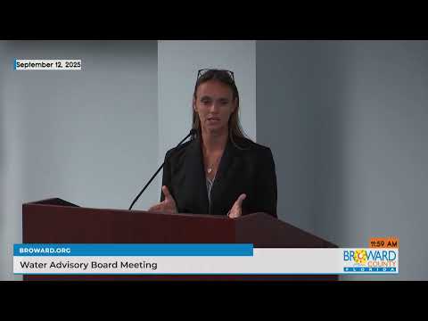
The project: Stefan Peritano, Climate Resilience Coordinator in the Broward County Resilient Environment Department, said RAIN combines field sensors installed at catch basins, solar-powered telemetry towers, still-image cameras for verification and a digital-twin AI to forecast and nowcast roadway inundation. "We're calling this RAIN. It stands for the rapid alert and information network," Peritano said.
Why it matters: county staff said the system aims to reduce the vehicle losses, rescues and airport disruptions experienced during the April 12, 2023 deluge, when the county reported thousands of stranded vehicles and more than 1,000 water rescues. The network is intended to provide resident-facing alerts, integrate with navigation apps such as Waze, and permit emergency services to pre-position equipment.
Pilot installs and timeline: Peritano said pilot sensors are already operating on county roads. He described plans to negotiate interlocal agreements (ILAs) with Fort Lauderdale, Hollywood and Hallandale Beach for city-road coverage. Fort Lauderdale requested 12 sensors next year; Hollywood about 10; Hallandale a smaller number. Peritano said the county will install 12 county-road sensors this year and aims to add approximately 30–40 sensors per year, targeting roughly 200 sensors in 4–5 years to provide broad coverage. Staff estimated capital spending of about $300,000–$400,000 this year and a similar amount next year for sensors; additional funds will support software, AI and staffing.
AI and integration: Peritano described a physics-based digital twin that ingests USGS, NOAA and other sensor feeds and municipal asset data for forecasting (6–12 hours ahead), nowcasting (real-time status) and post-event analysis. The county intends a resident-facing dashboard and alerting capability in fiscal 2027 and discussed integration with commuter apps to enable rerouting when roads flood.
Privacy and data-use concerns: board members asked whether existing CCTV camera feeds could be used to extend coverage. Staff said state and federal restrictions — and local ownership/contract terms for many cameras — have limited direct integration; staff also said the RAIN cameras will capture single still images to validate sensor readings, will not retain ongoing video, and images will be deleted after use. Peritano described the images as "a redundancy, for the actual sensors" and said access will be restricted to county staff for operational purposes.
Funding and pace: board members urged accelerating deployment and suggested reallocating unspent capital funds; staff responded that capital budgets are targeted to feasibility/design and that procurement, permitting and ILAs limit how quickly infrastructure can be installed. Staff said they will seek additional staffing resources to support installations.
Ending: the board responded favorably to RAIN and recommended continued coordination with participating cities; staff will pursue ILAs, complete additional pilot installs and continue work on AI integration, the resident dashboard and app partnerships.