Get Full Government Meeting Transcripts, Videos, & Alerts Forever!
Get email alerts on the Waterfront Vision Plan topic
No spam. Unsubscribe anytime.
West Linn planning commission hears residents urge stronger wetland protections, clearer preservation language in Westland Waterfront vision plan
Summary
West Linn Planning Commission members spent most of their Aug. 20 work session on the Westland Waterfront vision plan after several residents and long‑time community leaders urged clearer protections for wetlands, stronger language on preserving industrial and indigenous heritage, and a re‑examination of a medium‑density residential designation shown in the Pond District.
West LinnPlanning Commission members spent most of their Aug. 20 work session on the Westland Waterfront vision plan after several residents and long‑time community leaders urged clearer protections for wetlands, stronger language on preserving industrial and indigenous heritage, and a re‑examination of a medium‑density residential designation shown in the Pond District.
The public speakers included Jim Mattis, who said the vision plan "includes room for the cultural presence of indigenous people who populated the Pacific Northwest for thousands of years," but urged the plan to go further by explicitly prioritizing "preservation, restoration, and repurposing of some of the buildings on the island" known as Moores Island. Resident Nicole Jackson said the public comment process lacked transparency and asked the commission to require the city to publish full comments so the working group sees them, not only condensed summaries. Russ Axelrod, a former mayor, and Terrence Schumaker both pressed the commission to remove or rework the depiction of medium‑density housing shown adjacent to mapped wetlands.
Why it matters: speakers said the Pond District item affects the city
(Report continued)
Note: The transcript contained repeated numeric references to public input (a petition of roughly 3,700 signatures, and survey response counts reported at different points as about 200 and about 533). Those counts are recorded below under clarifying details exactly as they were stated in public testimony and staff materials.
Summary of the record and staff response Darren Weiss, the city planner leading the presentation, described the vision plan as the distillation of nearly a decade of outreach (2016to2019 and again 2024to2025) and said the December 2024through January 2025 online survey was intended "to gauge the temperature" of community support rather than to be a scientific, randomly sampled poll. Weiss told the commission the property of concern already carries a medium‑density residential comprehensive plan designation "and we were not going to change that as part of this process." He repeated that any future development proposal would still need to meet floodplain, water‑resource and Willamette River Greenway regulations and any required environmental remediation overseen by the Oregon Department of Environmental Quality.
Residents and community members disagreed with both the interpretive framing of survey results and how the plan maps the Pond District. "To suggest that only a small number of people care about the wetlands depicted in the waterfront vision plan would be a huge understatement," Nicole Jackson said, noting a petition she said contains about 3,700 signatures and contrasting that with what she described as "approximately 200 responses for the final review survey". Terrence Schumaker told the commission that some survey questions were double‑barreled and that, quoting Weissfrom an earlier meeting, "the final survey was intended to gauge support for the vision plan, not be scientifically valid as it was self selecting." Schumaker and others urged the commission to consider redoing or augmenting the survey if the commission intends to rely on its results for policy direction.
Floodplain and mapping concerns Staff showed the commission that FEMA's mapped special flood hazard elevation in the area corresponds to roughly 75 feet and that an historical aerial delineation of the 1996 flood similarly sits near the 75‑foot elevation; one map layer the public cited depicted the flood boundary at about 104 feet, which drew criticism. Weiss suggested one or both of these corrective steps for the commission to recommend to city council: (1) use the 1996 aerial delineation to improve the plan map, (2) add a disclaimer that any future development would be required to delineate the actual flood elevation, or (3) both.
Heritage and remediation Speakers asked for stronger, more explicit language about preserving and adaptively reusing historic mill buildings on Moores Island and elsewhere in the waterfront area. Weiss said the plan already "encourag[es] rehabilitation and reuse of historic structures" in multiple places (guiding principles, site adaptation and cleanup sections) and noted that any site with contamination would need to complete DEQ remediation before redevelopment.
Paths forward and next steps Weiss and the working group recommended packaging three implementation memos into an appendix for the vision plan: a policy and regulatory memo (including options for a mixed‑use designation in the historic City Hall District), a transportation system plan update memo, and an implementation and finance memo. The working group recommended moving the plan to the planning commission and city council with several suggested edits (stronger language on affordable housing and reuse of existing structures, and additional time for feedback). The planning commission will hold a public hearing Sept. 17 and may forward recommendations to city council for work sessions this fall and a final council public hearing later in 2025.
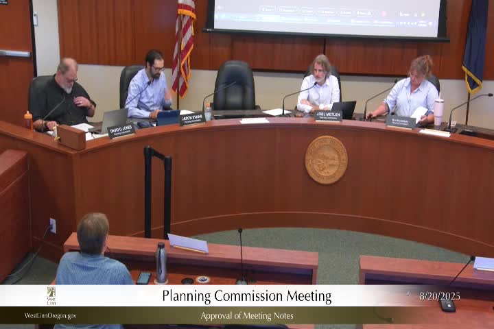
Discussion vs. action Tonight's meeting was a work session with public comment; the commission did not adopt the vision plan or change the comprehensive plan or zoning. The only formal vote taken at the start of the meeting approved the Aug. 6 meeting notes as modified.
What to watch next The planning commissionpublic hearing on the Westland Waterfront vision plan is scheduled for Sept. 17; staff said that if the commission requests changes to map legends or wording (for example removing "planning phase" text from the Pond District depiction or adding a FEMA/1996 flood elevation note), those edits will be prepared for the commission packet ahead of the hearing.
Quotes from the meeting "The vision includes room for the cultural presence of indigenous people who populated the Pacific Northwest for thousands of years," Jim Mattis said, and added that the plan should more explicitly "highlight preservation more prominently." Nicole Jackson said: "I find that hard to believe as the city had no trouble in sharing the full comments with you the planning commission at the last work session." Terrence Schumaker quoted staff: "the final survey was intended to gauge support for the vision plan, not be scientifically valid as it was self selecting," and urged more rigorous methods for future community polling.
Ending Commissioners did not vote on the vision plan at the Aug. 20 work session. Staff will prepare materials and a set of possible recommendations for the Sept. 17 public hearing where the planning commission may make a formal recommendation to city council.