Get Full Government Meeting Transcripts, Videos, & Alerts Forever!
Get email alerts on the Hillside Development topic
No spam. Unsubscribe anytime.
Planning commission approves Calico Basin hillside grading with limits on disturbance and required revegetation
Summary
The Planning Commission approved final grading for a proposed single‑family home in Calico Basin with conditions limiting disturbance on future lots, requiring revegetation and directing major design changes to return to public hearing after staff drainage review.
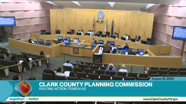
On Aug. 19, 2025, the Planning Commission approved a final grading plan for a proposed single‑family home and associated parcel map in the Calico Basin area of the Red Rock overlay, imposing conditions to limit site disturbance and require revegetation and additional public review. The decision follows debate about cut‑and‑fill calculations, drainage and how an upcoming parcel map would affect disturbance percentages.
The applicant’s representative, Dave Turner, said the revised plans correct earlier errors in the cross‑sections and reported the project shows about 42 cubic yards of fill and “a little over 16,000 yards” of cut, with the site disturbance at 29.4% of the nearly 5‑acre parcel. Turner said the plans meet the code limits used by staff and asked the commission for approval.
A nearby property owner’s representative, Melissa Urie, told the commission the grading submittal is preliminary and that required civil improvements and a drainage study will come later. Urie said the parcel map the applicant has submitted will split the nearly 5‑acre parcel and that, if the lots are considered separately, the disturbance on future Lot 1 could exceed 35%: “the intent of the code is really being sidestepped by allowing this to be approved as it currently sits versus waiting for the map to be completed,” she said.
The homeowner and applicant Michael Chong spoke in favor of the proposal, saying staff had approved the plans twice and urging the commission to focus on the facts.
Commissioner John Stone emphasized that the grading shown before the commission should not be treated as final and warned the public that the drainage study and public works review could require changes: “the drainage study always follows our land use entitlement approval,” he said. Stone and other commissioners pressed for a condition that would prevent the parcel split from producing a single lot with more than the code‑allowed disturbance for steep slopes.
The commission’s approval included three explicit conditions: require that any future major design changes (for example, those resulting from the drainage study) return to the commission as a public hearing; require revegetation of disturbed areas per code prior to final certificate of occupancy; and limit disturbance to a maximum of 35% on each of the two future lots if the parcel map is recorded. The motion to approve with those conditions passed on a voice vote.
Staff and multiple commissioners noted that final grading and drainage details will be reviewed and approved by public works and building review after the land‑use approval; the commission’s action granted entitlement contingent on those later technical reviews.
Why this matters: the site lies within the Red Rock overlay and hillside development standards intended to reduce erosion and runoff; commissioners framed the conditions to align the land‑use approval with those standards while preserving the applicant’s ability to proceed with engineering reviews.
The approval is final unless appealed to the Board of County Commissioners within the appeal period; staff reminded the public of the county’s appeal procedures and timelines.