Payson planning commission reviews NEBO‑Beltway area plan draft, begins charrette on land use, parks and trails
Get AI-powered insights, summaries, and transcripts
Subscribe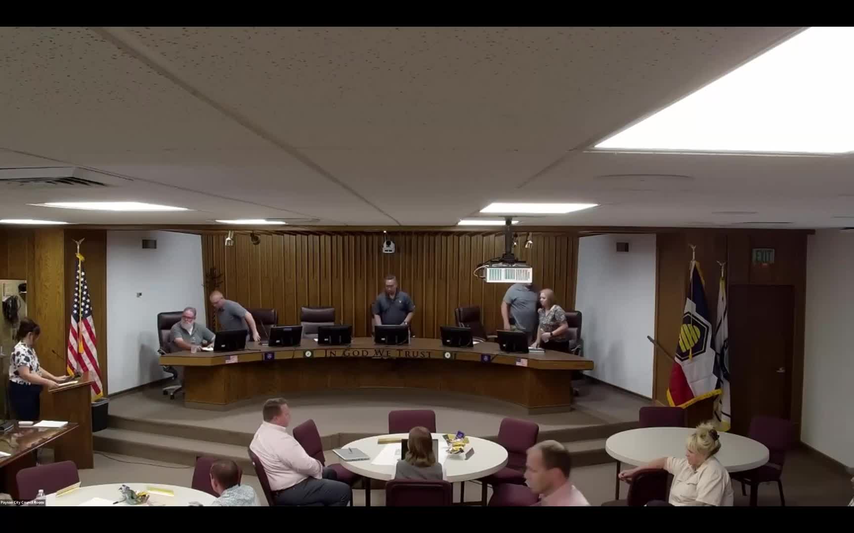
Summary
Consultants presented updated land‑use concepts and an economic analysis for the NEBO‑Beltway Area Specific Plan on Aug. 13; commissioners moved into a charrette to refine preferred commercial, residential, open‑space and transportation treatments.
Payson City Planning Commission members on Aug. 13 heard a consultant update on the draft NEBO‑Beltway Area Specific Plan and took part in a charrette to give direction on land use, housing types, parks and trail networks.
The consultant team’s project manager, Chris Hupp, summarized revisions that reflect public engagement, property‑owner interviews and a preliminary financial analysis by LRB. Hupp said the team’s concepts seek to “preserve the hometown feel” while clustering commercial activity at interchange and corridor nodes along I‑15 and the area known on the materials as 198. He told commissioners, “We want this to be a connected area. We want these trails.”
Why it matters: the plan area covers a mix of wetlands, potential park and civic sites, and land near major roads. The commission’s direction will guide future zoning recommendations, site‑planning decisions and further financial analysis that could affect the intensity and location of commercial development, housing variety and open‑space preservation.
Key points from the presentation and discussion • Land‑use approach and themes: consultants proposed concentrated commercial fronting I‑15, expanded commercial along the Beltway and commercial nodes near the 198 corridor, with residential clusters that include “missing middle” housing types (cottages and denser attached units) rather than only large single‑family lots. • Housing and numbers: the consultant packet and LRB analysis estimate approximately 976 attached units and about 2,104 total housing units within the modeled area. Hupp said the team also ran a wider, contextual analysis of roughly 2,000 acres to inform commercial viability while the current plan footprint is about 1,000 acres. • Open space and civic uses: the team highlighted wetlands integration, a connected trail network, a regional park and a potential civic complex. Hupp noted that Region 2 (described in materials as west of Nebo and south of Arrowhead) emerged as a logical general area for a regional park and civic center; a potential fire station was shown generally within Region 4 (southern blocks along 198). Hupp cautioned, “This is not a FEMA flood map,” describing the wetlands mapping as the consultant team’s working delineation rather than an official flood designation. • Financial analysis and property‑owner outreach: LRB’s modeling supports a higher commercial component than some prior plans, the presentation said. Hupp reported the team has met with multiple property owners and planned additional follow‑up meetings to refine a preferred scenario. • Engagement method tonight: commissioners and council members will use tokens on large maps in breakout groups to indicate preferred commercial and residential styles, street treatments and open‑space amenities; the tokens were described as a voting exercise to prioritize design choices.
Meeting actions and procedural notes • The commission approved minutes from the July 23 planning commission meeting. Motion to approve was made by Commissioner Frisbie and seconded by Commissioner Brinkerhaw; the motion passed with four votes in favor.
Discussion versus decisions • Discussion only: the bulk of the session was a consultant presentation and a facilitated workshop exercise; commissioners gave verbal preferences and asked clarifying questions but did not adopt zoning changes or approve specific plan language. • Direction/next steps: the consultant team said it will use feedback from the charrette and additional property‑owner meetings to produce a preferred scenario and perform GIS and fiscal‑modeling refinements. • Formal action: the only formal action recorded in the transcript was approval of the July 23 minutes.
Context and follow up • Wetlands and mapping: consultants emphasized that wetland delineation remains a working product that could change with further study and that mitigation is possible; they advised commissioners that wetlands are both a constraint and an amenity that the plan seeks to integrate. • Public engagement so far: the presentation summarized prior charrettes, stakeholder interviews, staff and council feedback, and property‑owner outreach; no public forum speakers were recorded during this portion of the meeting.
Next steps recorded in the meeting: staff and consultants will consolidate charrette input, meet with remaining property owners, refine the preferred scenario with GIS and financial modeling, and include open‑space and civic‑use recommendations in the draft plan. No timelines were specified in the transcript.
Ending note: commissioners moved into breakout charrette sessions after the presentation to vote on commercial styles, residential products and street‑level treatments; staff said results will be incorporated into the plan materials for subsequent review.