Board cuts land value of 19‑acre North Omak parcel, cites development cost barriers
Get AI-powered insights, summaries, and transcripts
Subscribe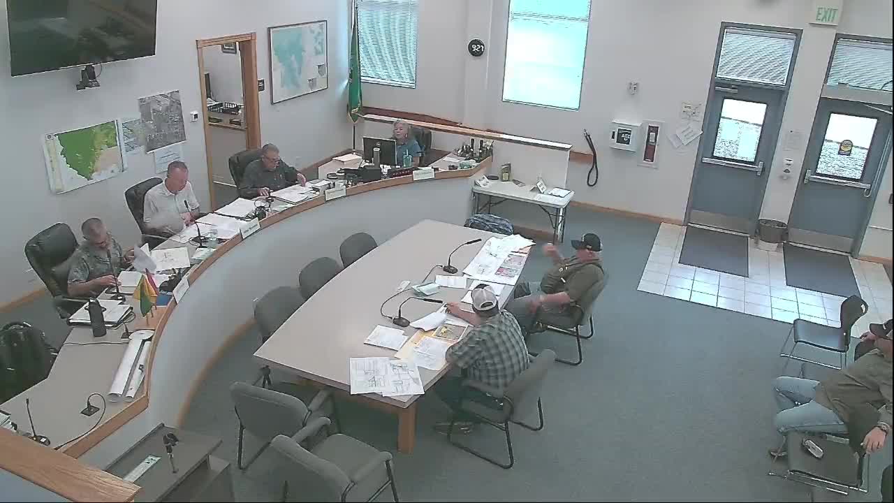
Summary
The Okanogan County Board of Equalization reduced the land value of a 19.38‑acre Omak parcel after hearing owner testimony that the cost to bring roads and utilities to marketable lot standards makes subdivision impractical.
The Okanogan County Board of Equalization on Wednesday overruled the assessor’s valuation for a 19.38‑acre parcel in North Omak, setting a new land value of $289,300, or about $0.35 per square foot, after hearing testimony from the property owner about high infrastructure costs.
The board heard from property owner Robert “Bob” Tollefson, who said the parcel is encumbered by a 500 kilovolt transmission line and that bringing Coppell (sometimes transcribed as “Copper”) Road and on‑site utilities up to city standards would cost “a couple million dollars” before the land could be sold in the one‑ or two‑acre parcels the assessor used as comparables. “I’ve had this property for 32 years, and we’ve never had a buyer for the whole partial,” Tollefson told the panel.
The board’s decision followed extended discussion among board members and with assessor staff about comparable sales, visibility from Highway 97 and the difference between small, city‑served lots and the owner’s larger, largely unimproved parcel. The board said the assessor’s use of small infill parcels that already had curb, gutter, sewer and water exaggerated the subject parcel’s marketability and failed to reflect the cost barrier for subdivision and off‑site road improvements.
Assessor Mike Ference explained the county’s comparable sales and the land model used in the area, noting higher prices for smaller parcels with full infrastructure and highway visibility. The owner and one of the board members detailed past infrastructure investment on other nearby parcels the owner had developed, and Tollefson said a reasonable price for lots with infrastructure in place would be about $3 to $4 per square foot.
After discussion the board set the land value for BOE25‑055 at $289,300 (roughly $0.35/sq ft). The board applied the same 35¢ per‑square‑foot approach to two adjacent appeals — BOE25‑053 and BOE25‑054 — setting those land values at $137,000 and $35,000, respectively, citing the “cost to develop” as the principal justification.
The board’s rulings explicitly noted the costs and physical constraints that would limit immediate subdivision of the subject acreage into the small, serviced parcels used in some comparables. The board advised parties that written decisions will be mailed within 45 days and that further appeals may be brought to the State Board of Tax Appeals.
The outcome reduces the assessed land value for the parcels in question; the board noted it could revisit valuations if substantive on‑the‑ground changes occur, such as installation of infrastructure or construction of the proposed intersection that some speakers said would alter development potential.
What happens next: the county will issue written decisions and the parties may pursue an appeal to the State Board of Tax Appeals if they choose.