Get Full Government Meeting Transcripts, Videos, & Alerts Forever!
Garfield County planning commission backs McClure River Ranch PUD amendment and Zone District 2 preliminary plan
Summary
The Garfield County Planning Commission recommended approval of a minor PUD amendment and a preliminary plan that would subdivide 48.96 acres of the McClure River Ranch into 12 lots and two tracts, with conditions addressing water permits, floodplain map revisions and affordable-housing requirements.
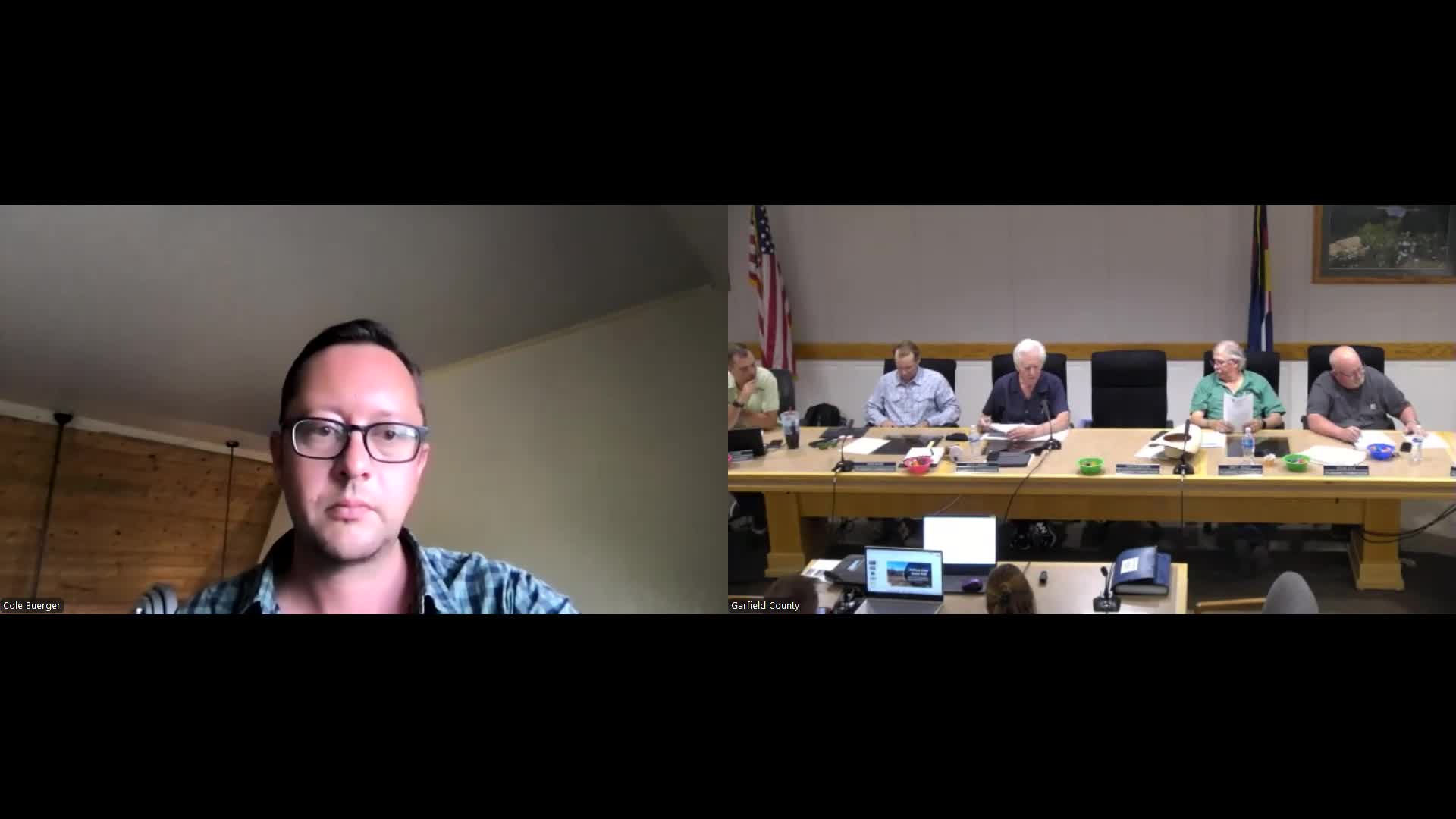
The Garfield County Planning Commission voted to recommend approval of a minor amendment to the McClure River Ranch planned unit development (PUD) and a separate preliminary plan for Zone District 2, which would split 48.96 acres into 12 single-family lots and two tracts, county planning staff said at the Aug. 13 meeting.
The county’s planning staff presentation noted the preliminary plan reduces the number of potential dwellings in Zone District 2 from the 40 allowed by the existing PUD to 12 lots with the option of accessory dwelling units (ADUs) on each lot, which could raise the maximum buildable units in the district to 24. Philip Berry, Garfield County planning staff, told the commission, “The preliminary plan reduces the number of lots to 40 to 12 and adds the ability to have ADUs on those 12 lots.”
The planning commission’s recommendation sends both items — the PUD amendment and the Zone District 2 preliminary plan — to the Board of County Commissioners with staff’s findings and conditions. The commission’s actions included specific conditions tied to water permitting, wetlands and floodplain mapping, affordable-housing commitments and requirements for engineered on-site wastewater treatment systems (OWTSs).
Why it matters: The property, known as McClure River Ranch, is about 3.5 miles east of the town of Carbondale and lies north of the Roaring Fork River. The site carries prior approvals and a conditional letter of map revision (CLOMAR) affecting the FEMA 100-year floodplain; those prior approvals and the CLOMAR shape the engineering and permitting requirements for any new subdivision on the site.
Most important facts
- What the commission considered: A minor PUD amendment (allowing ADUs in Zone District 2, clarifications to the PUD guide and removal of an embedded affordable-housing plan) and a preliminary plan for Zone District 2…
Already have an account? Log in
Subscribe to keep reading
Unlock the rest of this article — and every article on Citizen Portal.
- Unlimited articles
- AI-powered breakdowns of topics, speakers, decisions, and budgets
- Instant alerts when your location has a new meeting
- Follow topics and more locations
- 1,000 AI Insights / month, plus AI Chat