TWDB outlines state flood plan, Flood Infrastructure Fund and mapping efforts to House committee
Get AI-powered insights, summaries, and transcripts
Subscribe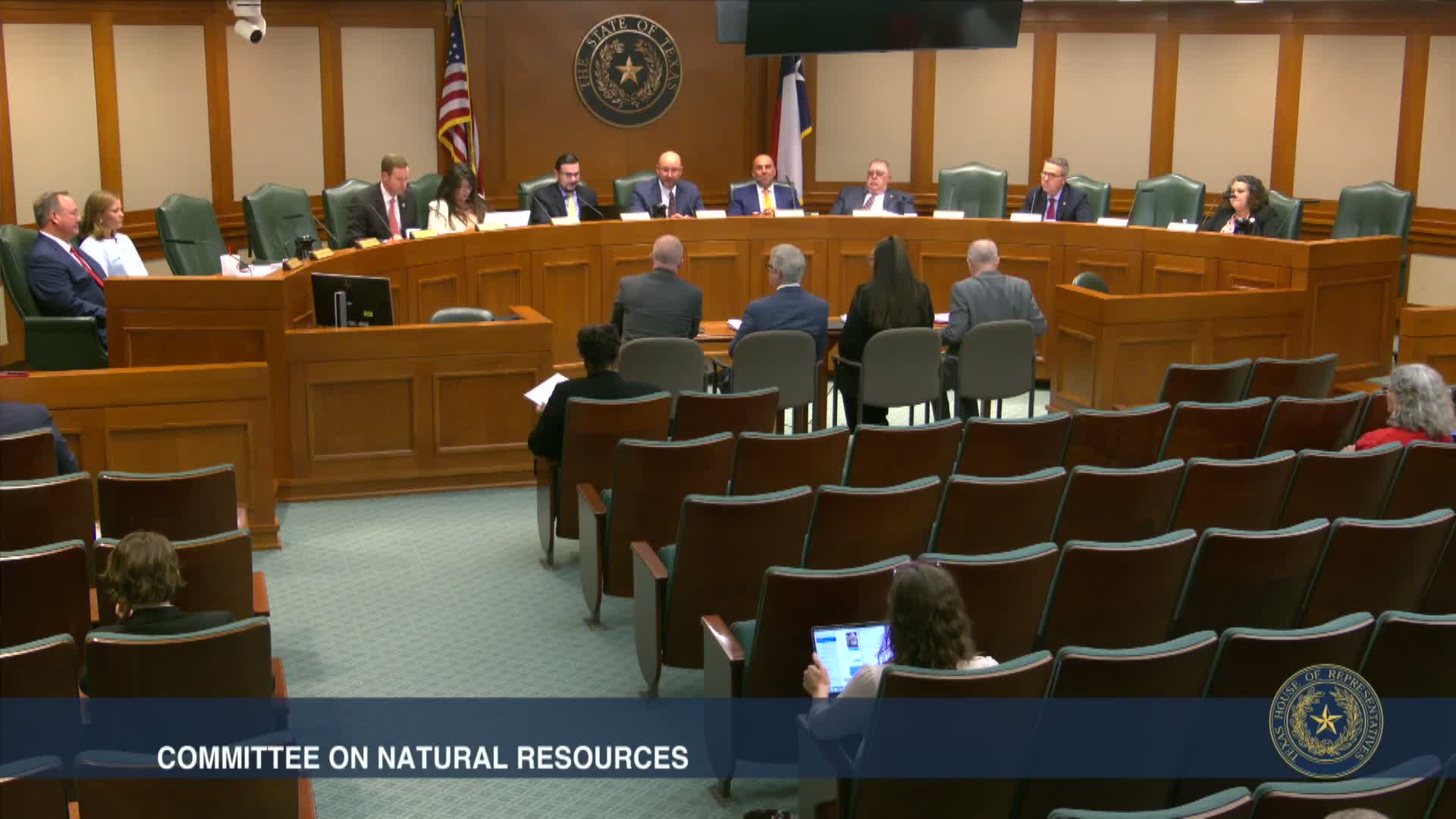
Summary
Texas Water Development Board officials briefed the House natural resources committee on the adopted 2024 State Flood Plan, the Flood Infrastructure Fund (FIF) application process, base-level engineering (BLE) mapping and gauges and recommended legislative priorities; witnesses described program scale and data tools used for planning.
The Texas Water Development Board (TWDB) told the House Committee on Natural Resources that the state now has a formal regional and state flood planning process, an interactive flood viewer and a funded program for flood mitigation projects, but local sponsors will still need state and federal partnerships to implement costly solutions.
"The TWDB adopted Texas's very first state flood plan last year in August 2024," Brian McMath, executive administrator of the TWDB, said in prepared remarks. He summarized the board's work to set up 15 regional flood planning groups, build a scientific foundation and launch the Flood Infrastructure Fund (FIF) intended-use plan to solicit applications.
Nut graf: TWDB officials described technical tools and financial programs that departments and local sponsors can use — from BLE mapping and the texmesonet weather network to FIF project priority lists — and said many recommended mitigation solutions are costly and require state or federal financing.
McMath told the committee the state flood assessment and the first cycle of regional planning identified thousands of proposed solutions: about 4,609 recommended flood risk reduction solutions across regional plans with a combined estimated cost of roughly $54.5 billion. He said more than half of that total is tied to major coastal surge-protection projects. The TWDB has funded 140 flood mitigation projects since 2020 totaling nearly $670,000,000 through FIF selections.
Committee members asked how TWDB data and tools support local early-warning systems and whether gauges can be deployed on roads or in communities. John Dubnick, a TWDB staffer, said gauges are typically placed where water accumulates (streams, tributaries, coastlines) but can be located in low-lying community areas "where you wanna know where there's some rising water to be aware of." He and other staff described how USGS, local river authorities and other networks feed data to consolidated viewers such as texasflood.org.
TWDB staff described base-level engineering (BLE) flood data coverage for nearly all of the state and an ongoing plan to update 20% of the state per year. The board also highlighted the Tex Mesonet weather-and-soil network, a statewide stream-gauge expansion started after the 2015 Wimberley flood and a flood information clearinghouse that coordinates state and federal funding inquiries.
Asked whether FIF funds can be used for technical assistance, TWDB staff said the law that created FIF does not allow direct funding for technical assistance; TWDB provides advisory support and can connect applicants to program teams but cannot spend FIF dollars on direct technical-assistance grants. Staff recommended sponsors seek TWDB outreach and other programs for preparatory work before applying.
Ending: TWDB offered to return with a briefing on aquifer recharge and other intersecting issues as regional flood planning groups prepare the next five-year cycle of plans.