Get Full Government Meeting Transcripts, Videos, & Alerts Forever!
Get email alerts on the Neighborhood Centers topic
No spam. Unsubscribe anytime.
Council weighs permanent Neighborhood Centers and Hubs code; debate focuses on open space, small groceries and through‑block connections
Summary
City planners presented a permanent Neighborhood Centers and Hubs code on Aug. 12; council and residents probed open-space definitions, allowances for small grocery stores and proposed through‑block pedestrian connections.
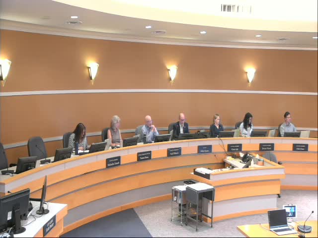
City planning staff presented an updated permanent code for Edmonds’ Neighborhood Centers and Hubs on Aug. 12 and invited council questions after a previous July 20 public hearing. Planning said the draft has been reorganized for clarity and contains definitions and design standards intended to guide the city’s smaller commercial centers.
Key items discussed: - Open space vs. amenity space: Residents and councilmembers asked whether the draft’s open-space definition would protect vegetated or permeable areas and explicitly exclude paved driveways and patios. Staff explained that open space is defined as natural, unbuilt areas — including critical-area buffers and stormwater features — while amenity space covers plazas and paved civic spaces. Staff said community gardens could fit as public amenity space or open space depending on the design and location.
- Small grocery and neighborhood commercial uses: Staff said the code would allow neighborhood-oriented commercial uses and caps smaller grocery stores at 10,000 square feet to promote local, walkable services.
- Through‑block connections: Planners proposed possible mid‑block pedestrian connections on maps included in the packet to break large blocks and improve walkability. Several council members and residents raised concerns about private-property impacts, maintenance, lighting, safety, and whether the city is ready to require such connections citywide. Staff said the dotted lines on maps show potential corridors, not exact alignments; final locations would be negotiated at development review and could be refined in later area plans.
- Build-to-line/active‑frontage measures: Councilmembers noted an inconsistency in draft language between a definition stating a 50% build-to-line threshold and another section that referenced 60% active frontage; staff said the two standards target different outcomes (placement of buildings vs. active ground-floor uses) and offered to resolve wording to remove confusion.
Next steps: Staff said they plan to return the ordinance with edits and answers to the council’s technical questions and aim to place it on the next meeting agenda for further consideration or adoption. The goal remains to finalize a permanent code before the council’s summer break window closes.
What it means: The code sets expectations for development in the city’s smaller centers, clarifying allowable uses, design standards, and connectivity goals. The discussion underscored trade-offs between stronger pedestrian connectivity, property-owner impacts and the timing of implementation.