Teton County commissioners validate several roads, remove a few from county map after public hearing
Get AI-powered insights, summaries, and transcripts
Subscribe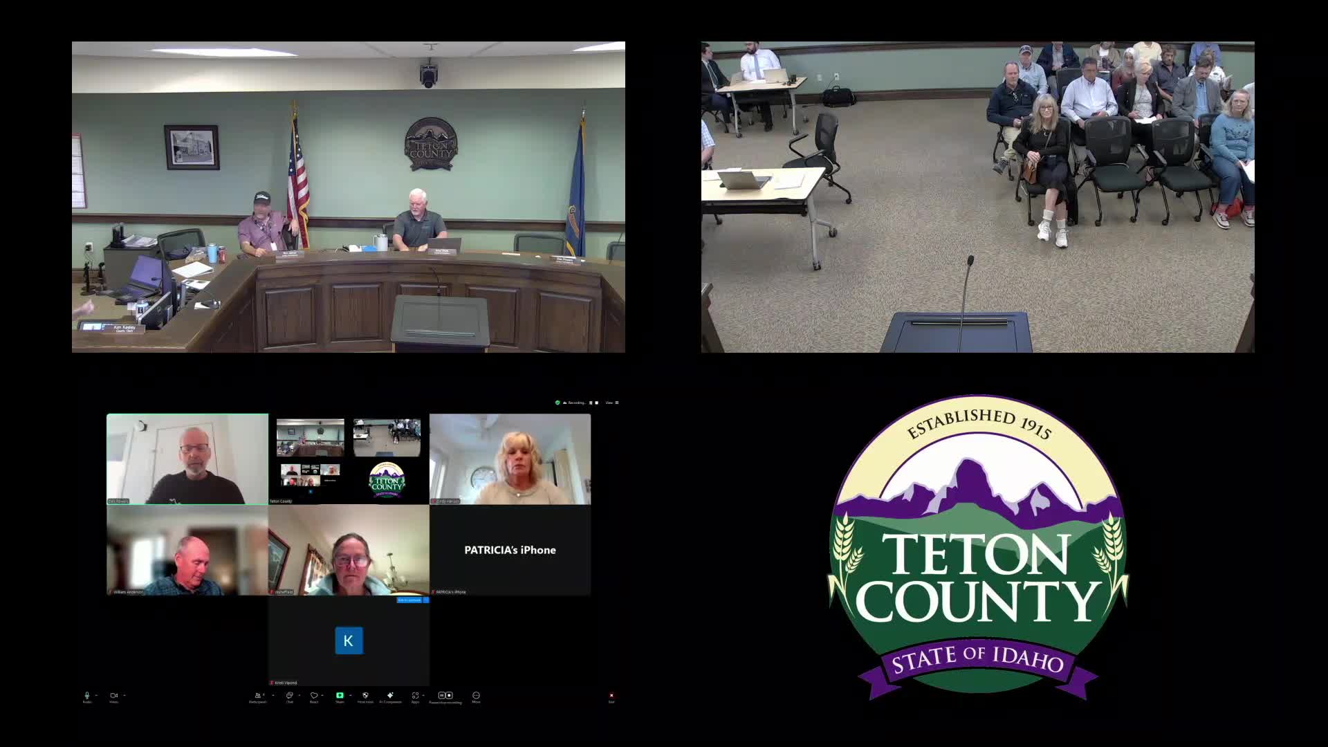
Summary
Teton County commissioners voted on June 2 to validate multiple roads, remove a handful from the county's official road map and defer consideration of several others after a public hearing on 21 listed corridors.
Teton County commissioners voted on June 2 to validate multiple county roads, remove a handful from the county's official road map and defer consideration of several others after a public hearing on 21 listed corridors.
The hearing, led by Daryl Johnson, public works director, was described by Johnson as “the first step in updating our what I always refer to as our official county road map, which is a state statute requirement.” Commissioners considered whether each right-of-way was legally created, whether it serves a public interest and whether it should remain on the county map.
The meeting combined staff presentations, attorney clarifications and public comment. County legal counsel Berkeley distinguished two procedures the board is using: validation (determining whether a private path has been created by public use) and vacation (removing a road that is already part of the county system). As Berkeley told the board, “Only in vacation proceedings where the status of the road is not in question does the statute prohibit removal of roads that would landlock parcels.”
Public speakers urged different outcomes depending on the corridor. Kurt Daniels, who said he and his wife Shelley own land served by North 4500 West, told commissioners that the county built and maintained that stretch for decades: “The road was built and maintained by the county for 30 years.” He said keeping it on the county map would preserve shared access and avoid the possibility that a future owner could close the route.
In contrast, Public Works recommended declaring several small, unimproved two-tracks nonpublic because staff could not find documentation that the ways were created by the formal public-hearing process and the roads do not appear to serve broader public connectivity.
Other public commenters urged validation to protect public access to rivers and public lands. Attorney Sean Moulton urged keeping an unimproved access near Badger Creek in the system, saying it preserves access to a narrow corridor that currently links to a Western Rivers Conservancy parcel and, eventually, Bureau of Land Management holdings: “There's a public access going down into Badger Creek that provides one of the only accesses.”
Commissioners debated how to weigh long-standing private use, winter maintenance and the possible future development value of corridors. Commissioner Powers summarized the balancing point for many members: “If it's really just serving one landowner, then that doesn't seem to me like that's the public interest.” The board ultimately validated roads that staff or others reported as regularly maintained by the county or that serve multiple parcels or public lands; the board removed or deferred roads when documentation and public benefit were insufficient.
Votes at a glance
- North 4500 West (off State Highway 32): Declared non-public / removed from county map. Public Works reported no formal creation record; staff recommended removal. Motion carried.
- Access road off 12000 North near 6500 West (Badger Creek area): Validated by prescription after public comment highlighted public fishing access and adjacent parcels; motion carried.
- Access road commencing at 11060 North and 4000 West (near Highway 32): Not considered at this meeting (vacation would cut parcels off from public access); motion carried to defer consideration.
- Red Fox / Pioneer Trail (interior subdivision off Ski Hill Road): Validated (county maintenance and plowing cited); motion carried.
- Piquet Lane (off South Bates): Validated; resident Laura Piquet told the board it has long received winter maintenance and she said it would be a burden if plowing stopped: “It would be a real burden to me ... to keep that road clear myself.” Motion carried.
- Rabbit Drive (near Jackalope Acres / Murdoch Acres): Validated; board cited county plowing/maintenance and the road's service to multiple residences. Motion carried.
- Quaking Aspen Drive (near Ski Hill Road / condo area): Not considered at this meeting after staff recommended deferral; public commenters and one resident argued both for and against county responsibility. Motion to defer carried.
- Shadow Moon Lane (access to condos near Ski Hill and State Line Road): Validated based on use by about 60 condo units and bus access; board validated the right-of-way. Motion carried.
- Felt Pit / gravel-pit access ("Felt Pit access road"): Validated; county maintenance and access to gravel pits and state lands were cited. Motion carried.
- Fairgrounds access road: Validated; staff said the fairgrounds and county maintain the corridor and it provides public access to the fairgrounds and county museum. Motion carried.
- Le Grand Pier extension: Not considered at this hearing as staff recommended the board take no action now. Motion carried to defer.
- Cemetery Road (road by transfer station and gravel pits): Validated; county maintenance and service to public facilities cited. Motion carried.
- Darby Townsite roads (East 1750 South / South 1500 East): Validated; road maintenance history and service to residences and a gravel pit cited. Motion carried.
- Darby Cemetery access (East 1750 South): Validated; the road provides access to the cemetery and has been maintained by the county. Motion carried.
- South 500 East: Validated; county maintenance and service to residences cited. Motion carried.
What the decisions mean
Commissioners emphasized that validation or removal today does not finalize the county road map update; the record established at the validation/vacation hearings will be used later when the county formally updates the map. Legal counsel reminded the board that absence from the map is not, by itself, determinative of legal status: the validation and vacation processes are separate steps taken before the map update.
Several property owners urged commissioners to preserve corridors because of long-standing use, maintenance practices and potential future connectivity; others urged removing roads from the county system when documentation was absent and the corridor serves only one private property. Jeremiah Bigelow, owner of the Super 8 near the fairgrounds, said validating the fairgrounds access would aid future development: “I assume that by you guys ... making it official that it opens the door for us to have access.”
Next steps
For roads validated today, staff will include those corridors in the county's update to the official road map and record the board's findings. For roads the board declared nonpublic or deferred, owners and interested parties may return evidence in future proceedings; the board can revisit validations or vacations if new information is presented.
The board completed the hearing after deciding each listed corridor and adjourned the special meeting.