Get Full Government Meeting Transcripts, Videos, & Alerts Forever!
Get email alerts on the Telecommunications Infrastructure topic
No spam. Unsubscribe anytime.
Planners forward proposed 185‑foot Verizon monopine to commissioners with no recommendation after community opposition
Summary
Cobb County planning commissioners voted 5‑0 to forward a proposed 185‑foot stealth telecommunications tower to the Board of Commissioners without a planning recommendation, after neighbors and the developer failed to resolve location, design and lease disputes.
Cobb County planning commissioners on Thursday voted 5‑0 to send a proposed special land‑use permit for a 185‑foot telecommunications tower (monopine stealth design) to the Board of Commissioners without a recommendation, citing unresolved issues including a nearby county‑owned parcel the community prefers and lingering community concerns.
Greg Spence of Fortified Telecom, representing developer Freebird Communications and Verizon, told the commission the site—on the northeast corner of Acworth‑Du West Road and Jim Mullins Road—was needed to provide capacity relief for the network. ‘‘Verizon has demonstrated a clear and pressing need for this network improvement,’’ Spence said, adding the tower was designed for Verizon plus three additional carriers and that third‑party reviewer CityScape confirmed the minimum effective height.
Opponents, represented at the hearing by Morris Hill Memorial Association president Jimmy Richards and local resident Michael Chadwell, pressed for the tower to be built on an adjacent county‑owned parcel acquired for a roundabout. They told the commission a monopine design sheds plastic materials over time and that runoff could carry shards into nearby streams and reservoirs. ‘‘This monopine tower is a ticking time bomb that sheds tons of plastic,’’ Chadwell said, presenting a bag of plastic fragments he said were collected near a monopine elsewhere.
The applicant said the county parcel had been considered but engineers determined it would require a taller, lit tower and that the county’s lease terms were economically infeasible. Spence said the developer had submitted two offers, based on a $135,000 land assessment, and had not received a counteroffer from DOT leadership; he added that the county’s rental expectations reflect mature multi‑tenant towers and would not be practical for a site that would start with a single anchor tenant.
Design and mitigation: Freebird said it altered the original monopole design to a monopine, then further revised the monopine by adding branches to better conceal the trunk. Company representatives said the final design does not require lighting and that annual structural and vegetation maintenance would be part of long‑term operations; they acknowledged a monopine requires more maintenance than a simple monopole and that branches will require periodic replacement.
Environmental and community concerns: Opponents raised three linked concerns—visual impact in a historic gateway to the Morris Hill community, microplastic pollution from degrading artificial materials, and threats to birds and other wildlife in nearby watersheds. Neighbors argued the county parcel had a retention pond and would be less visually intrusive. The developer said the county parcel was about 700 feet from the proposed site; engineers said the county parcel’s topography and leasing terms made it impractical.
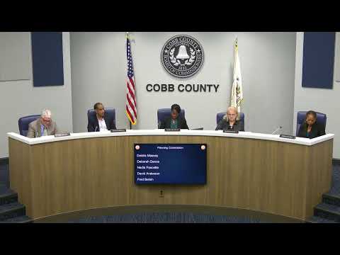
Commission decision: Commissioner Faucette said the case had ‘‘unique’’ issues—most notably the nearby county parcel and the recusal of District Commissioner Malloyne, who owns property near the proposed site—and moved to forward the request to the Board of Commissioners without a recommendation; the motion passed 5‑0.
Next steps: The Board of Commissioners will take up SLUP 2 at a future meeting. The planning commission record includes the developer’s RF evidence, CityScape’s third‑party review and letters and testimony from multiple neighbors. The commission’s action is a procedural recommendation only; the Board of Commissioners will make the final decision.
Facts and figures: The tower would be 185 feet tall with a 4‑foot lightning rod (total 189 feet); Verizon established a 0.3‑mile search radius for site alternatives; the developer said the DOT parcel was roughly 700 feet from the proposed location; the developer indicated lease proposals were based on a $135,000 assessment and that typical financial feasibility depends on multiple tenants.