Get Full Government Meeting Transcripts, Videos, & Alerts Forever!
Needham GIS staff demo new WebGIS: parcel searches, aerial photos and temporary drawing tools
Summary
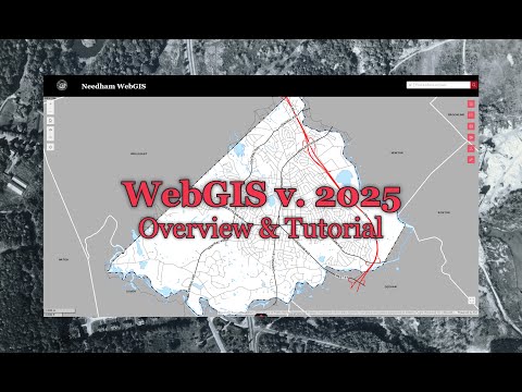
A Town of Needham GIS staff member demonstrated the town's new WebGIS application, showing parcel search and assessor links, aerial imagery (including photos from the 1990s), layer controls, measurement and drawing tools, and PDF printing. The presenter said drawings are temporary and links go to the Assessor's website.
A Town of Needham GIS staff member demonstrated the municipality’s new WebGIS mapping application, showing users how to search parcel records, view aerial photographs dating back to the 1990s, measure coordinates and export maps as PDFs.
The demo, presented as an online walkthrough, matters because residents, property owners and town staff use the tool to find parcel data, check zoning and examine aerial imagery for planning and property research.
The presenter walked through key functions. The search bar accepts addresses, location names and street names; partial addresses can speed…
Already have an account? Log in
Subscribe to keep reading
Unlock the rest of this article — and every article on Citizen Portal.
- Unlimited articles
- AI-powered breakdowns of topics, speakers, decisions, and budgets
- Instant alerts when your location has a new meeting
- Follow topics and more locations
- 1,000 AI Insights / month, plus AI Chat