Get Full Government Meeting Transcripts, Videos, & Alerts Forever!
Okanogan County planning panel advances draft to require named roads at two homes, authorizes limited drone use for 911 addressing
Summary
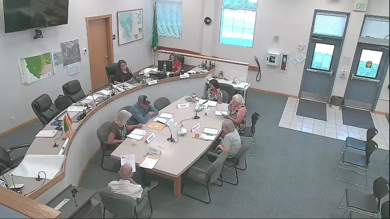
The Okanogan County Planning Commission voted to send a draft code revision to public comment that would change when private driveways become named roads and add a limited authorization for county GIS drones to support mapping and 9-1-1 addressing.
The Okanogan County Planning Commission voted to send a draft revision of county addressing rules to a 30-day public comment period, including a change that would require private driveways with two residences to be named as roads and a provision authorizing the county GIS division to operate unmanned aircraft systems to support mapping and 9-1-1 addressing.
The proposed changes were introduced at a work session where planning staff described the need to reduce address confusion for emergency responders and to modernize how primary access points are determined. Planning staff said the code change would replace the current practice of adding lettered suffixes (A, B, C) on the same driveway and instead assign numbered addresses measured from the primary access road.
Staff emphasized why the mapping change matters: “the Okanagan County GIS division is authorized to operate unmanned aircraft systems for the purpose of supporting mapping, land management, addressing, and spatial data collection,” the staff member said during the meeting. The staff member also said the drone photos would…
Already have an account? Log in
Subscribe to keep reading
Unlock the rest of this article — and every article on Citizen Portal.
- Unlimited articles
- AI-powered breakdowns of topics, speakers, decisions, and budgets
- Instant alerts when your location has a new meeting
- Follow topics and more locations
- 1,000 AI Insights / month, plus AI Chat