Planning commission briefed on critical areas and floodplain ordinance updates; commissioners flag Town Center impacts and mapping questions
Get AI-powered insights, summaries, and transcripts
Subscribe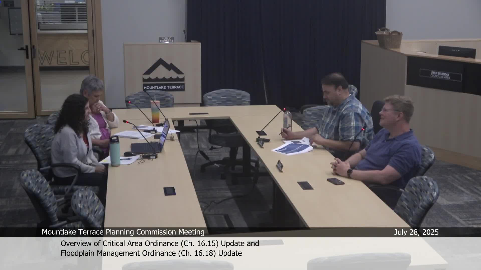
Summary
City staff and consultant presented high‑level proposed updates to the critical areas ordinance and the floodplain management chapter (MTMC 16.18). Commissioners asked about buffer expansions, mapping accuracy, wellhead protection, and potential effects on Town Center and targeted growth areas.
Mountlake Terrace planners and a consultant outlined proposed updates to the city's critical areas ordinance (CAO) and floodplain management code on July 28, emphasizing incorporation of best available science, updated mapping and the need to balance environmental protection with targeted urban growth.
Why it matters: The Growth Management Act requires jurisdictions to protect critical areas (wetlands, aquifer recharge areas, frequently flooded areas, geologic hazards and fish and wildlife habitat) using the best available science. Proposed technical changes could alter buffers and mitigation requirements that affect development capacity in parts of the city, including the Town Center and areas near the light rail station.
Key elements presented: Facet (the consultant) and city staff summarized draft updates and themes: - General provisions: tighten mitigation sequencing, clarify applicability near critical areas, add critical‑area‑specific nonconforming use language, and clarify monitoring start dates for mitigation. - Wetlands: reference the state's most recent wetland rating system, refine buffer rules, simplify critical‑area report requirements, and consider function‑based (debit/credit) mitigation accounting. - Critical aquifer recharge areas (CARA): update classification to emphasize susceptibility, incorporate wellhead protection areas into mapping, and require wellhead information in critical‑area reports. - Frequently flooded areas: reference the National Flood Insurance Program (FEMA firm maps) and align MTMC 16.18 permit and construction provisions accordingly; the city currently shows only Zone A floodplain areas. - Geologically hazardous areas: consider more factors (beyond slope and soil type) for landslide hazard classification and require cumulative‑impact assessment in technical studies. - Fish and wildlife conservation areas/streams: combine stream rules with fish and wildlife code, evaluate buffer widths, require vegetated native‑plant buffer plantings and add monitoring protocols.
Commissioner concerns and technical points: Commissioners asked whether the state's newest science would raise buffers citywide and what that would mean for the town center and gateway areas. Staff said the state recommendations (including a site‑potential tree‑height metric described in the consultant's memo) could substantially increase the area mapped as stream buffer in some locations and that the city is analyzing overlay effects on zoning: "If we strictly adhere to the agency's preference for implementing the best available science," staff said, "that could make some targeted growth areas effectively no‑build unless we identify alternative mitigation approaches."
Mapping accuracy and updates: Commissioners questioned map precision (some mapped buffers appear to reach the top of a bluff while other floodplain edges appear to be incomplete). Staff explained the maps are indicators and will be updated as site‑specific studies are submitted; the city will incorporate state base layers and field‑verified technical reports to refine maps over time. Staff also noted that some FEMA firm maps are dated and that local mapping often has higher resolution than statewide layers because of cost and local site work.
Aquifer recharge and wellhead protection: Staff said the city will add wellhead protection areas and critical aquifer recharge areas to the critical areas map and require that permit submittals include wellhead information where applicable. The presentation noted a 100‑foot protection radius is commonly used around drinking‑water wells as a planning default.
Floodplain management (MTMC 16.18) update: Staff explained that the city participates in the National Flood Insurance Program and that the proposed update will clarify definitions, required permit information, flood elevation data submittal, floodplain administrator duties (building official), and minimum construction standards for utilities and buildings in the floodplain. Commissioners asked how many properties are in the mapped floodplain and whether recent Corps of Engineers work around Lake Ballinger is reflected; staff will provide a count of affected parcels and follow up on any hydrology updates.
Next steps: Staff will finalize draft ordinance language, circulate it for the state Department of Commerce 60‑day review (and Department of Ecology coordination for NFIP matters), conduct public outreach (including National Night Out) and return to the commission and council for hearings this fall. Staff emphasized the mapping and some technical science remain under discussion with state agency biologists and engineers before a final draft is released.
Ending: The commission requested additional information on the number and location of affected parcels, clarification of wellhead mapping, and more refined buffer impact maps for Town Center prior to formal hearings. Staff said it would work with the consultant and state agencies to produce a draft that accounts for jurisdictional constraints and implementation needs.