Planning Commission recommends City Council approve tentative parcel map for 1455 Vista Way
Get AI-powered insights, summaries, and transcripts
Subscribe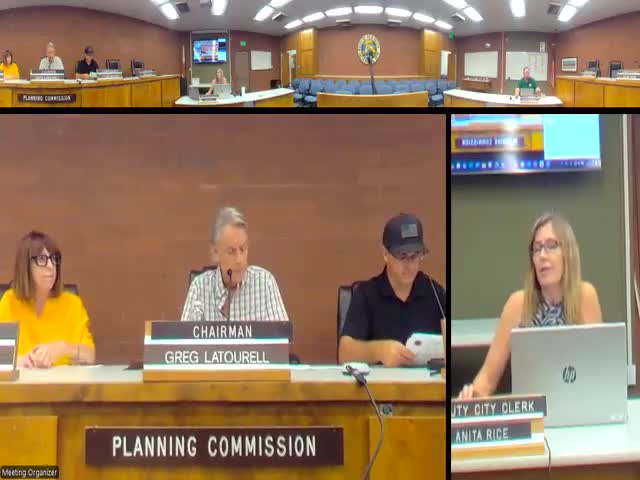
Summary
The City of Red Bluff Planning Commission voted to recommend City Council approval of Tentative Parcel Map TPM2024-01, which would split one industrial-zoned lot at 1455 Vista Way into two parcels; staff said the map is exempt from CEQA under the Class 15 minor land division exemption.
The City of Red Bluff Planning Commission voted unanimously July 22 to recommend City Council approval of tentative parcel map TPM2024-01, which would split the property at 1455 Vista Way into two parcels. Staff said the proposal meets the city’s lot area and dimension requirements for planned industrial zoning and that no new development is proposed at this time.
Tom (planning staff) told commissioners that “Parcel A would have roughly 15,966 square feet, while parcel B would have 43,999 square feet,” and that the existing site contains three buildings with one on Parcel A and two on Parcel B. He said the tentative parcel map application is exempt from the California Environmental Quality Act under the CEQA Guidelines Section 15315 (Class 15 — minor land divisions). The resolution before the commission recommends approval of Resolution No. 11-2025, forwarding the tentative map to City Council; the final parcel boundaries would be established with the recordation of a final map.
The Planning Commission’s recommendation followed a staff presentation and brief clarification questions. Commissioners present — Commissioner Yates, Vice Chairperson Miranda and the presiding Chairperson — voted “yes.” Commissioner Quigley was noted as late and Commissioner Johnson was excused. The motion and second were made on the record; the mover and seconder were not identified by full name in the transcript. The action record from the meeting indicates the commission recommended approval and directed that the item proceed to City Council for final consideration.
Because the commission’s action is a recommendation, the City Council must consider and adopt or modify the tentative map and staff’s findings before a final map is recorded. The staff report attached to the commission packet lists the applicable lot-size and dimension standards for planned industrial zoning and the conditions of approval that would apply if the council adopts the recommendation.
No members of the public offered comment on the item during the commission meeting.
The commission’s record and the final map, if approved by City Council, will define the new parcel configuration and allow eventual separate property transactions or development under the city’s zoning requirements.