Get Full Government Meeting Transcripts, Videos, & Alerts Forever!
Get email alerts on the Transportation Infrastructure topic
No spam. Unsubscribe anytime.
Council hears Bloomington Ferry Road visioning study proposing 'right-sizing,' improved crossings and green infrastructure
Summary
City of Bloomington staff and consultant SRF presented a corridor visioning study for Bloomington Ferry Road that recommends reducing excess pavement, improving pedestrian and bicycle crossings, and adding green infrastructure.
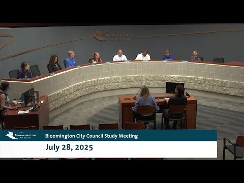
City of Bloomington staff and consultant SRF presented a corridor visioning study for Bloomington Ferry Road at the July 28 study session, outlining recommendations to reduce roadway footprint, improve pedestrian and bicycle facilities and increase green infrastructure. Amy Miron, Bloomington assistant traffic engineer, and Philip Kulis of SRF Consulting described a 2.7‑mile corridor study from the pedestrian bridge over Bloomington Ferry to Van Ness/Ensing that aims to “right‑size” the pavement and make the corridor more sustainable.
The study matters because Bloomington Ferry Road currently is four lanes with lower traffic than in past decades; Miron and SRF reported daily traffic in the corridor between about 3,500 and 7,000 vehicles—well below the roughly 15,000 vehicles-per-day threshold used for four‑lane decisions—suggesting excess vehicular capacity and long‑term maintenance costs. The study also flagged one intersection, Bloomington Ferry Road and Lindsom Drive, as having an elevated crash rate (top five in the city) and identified localized flooding near Landau Lane, Wyoming Circle and Wyoming Way during a 100‑year storm footprint that currently reaches adjacent properties.
Consultants presented three ways to implement a three‑lane cross section (one travel lane each direction plus a center turn lane or landscaped median), and a menu of intersection controls (signals, mini‑roundabouts, full roundabouts). The presentation noted two existing signals at Vanessa Street and 102nd Street that “do not meet warrants” under current volumes and therefore are not technically required. Public engagement to date included an open house at “Country Starry Park” in May with roughly 80 attendees, a Let’s Talk Bloomington project page visited by about 1,000 people, a mailed notice to roughly 4,000 addresses along the corridor and 35 unique online commenters leaving about 60 comments; common themes were excess speed, difficulty crossing the roadway, and general support for reducing lanes and adding green infrastructure and roundabouts at certain intersections.
Council members asked staff to preserve corridor continuity for biking and walking while right‑sizing vehicle lanes. Council member D'Alessandro asked whether bicycle facilities would traverse the full 2.7 miles; SRF said maintaining and enhancing the existing continuous facilities is the intention. Council member Moua suggested a concept for creating housing in the wide right‑of‑way between 106th and 102nd Street as an off‑the‑cuff idea to increase housing supply and reduce maintenance area, saying, “could we sell this land off so we don't have to maintain it and people can build houses on this?” Miron and consultants did not adopt that as a near‑term recommendation but noted the project’s broad examination of right‑of‑way use. Several council members emphasized lifecycle and maintenance costs (snow clearing of separate bike facilities, vegetation maintenance) and asked staff to show capital and ongoing maintenance tradeoffs when alternatives are developed.
Next steps: staff and the technical advisory committee will refine cross sections and develop three alternatives in August, return to the public with alternatives in September, and later present screened recommendations to the planning and sustainability commissions and city council. No formal council action or vote on design alternatives occurred at the July 28 study session; staff asked for council guidance on the goals and tradeoffs and will return with the alternatives and cost/maintenance comparisons.
Tapering note: the visioning phase will not itself reconstruct pavement; it is a planning step that will inform future individual construction projects and capital budgeting.