Columbus council approves Chase Pointe annexation and rezoning after hours of public comment; council adds density and tree-buffer limits
Get AI-powered insights, summaries, and transcripts
Subscribe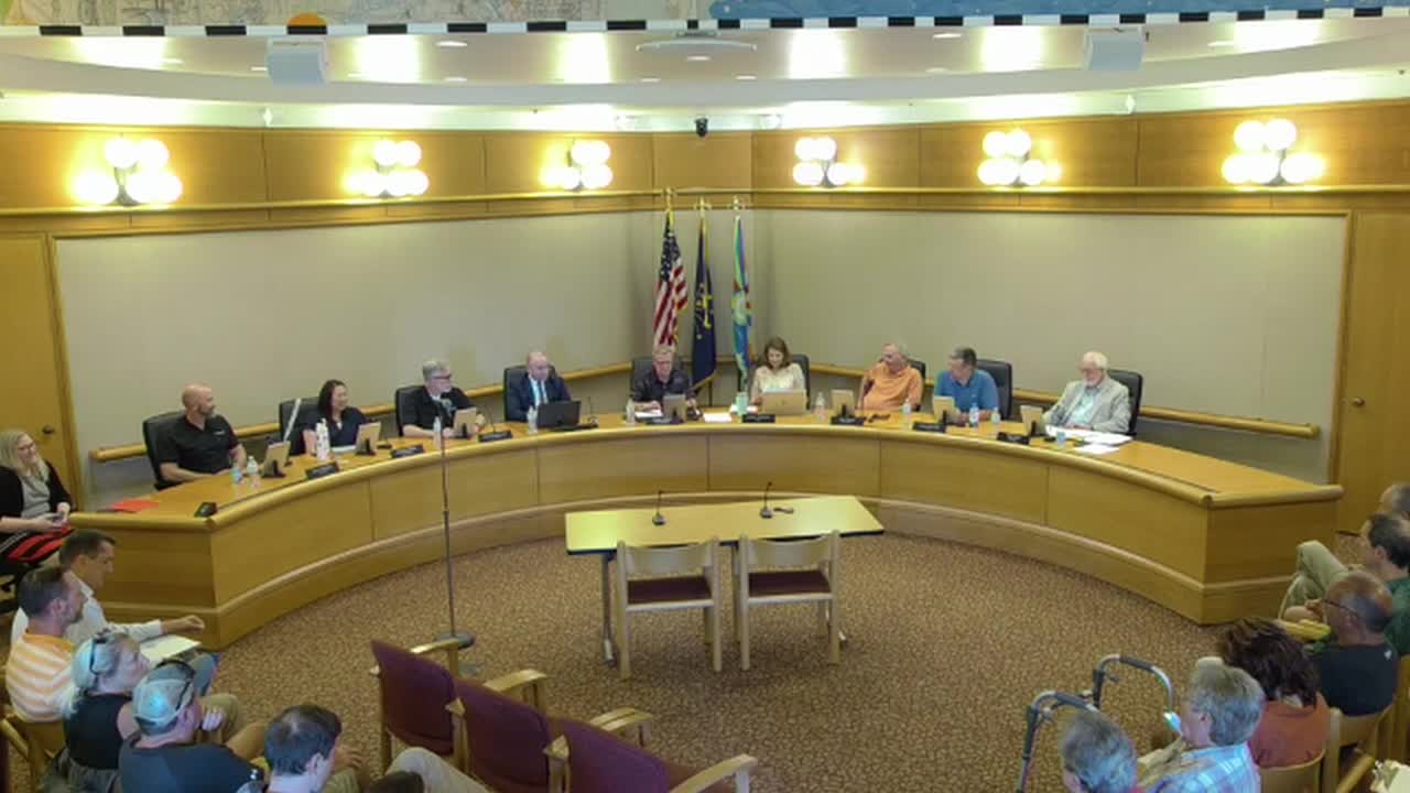
Summary
After more than an hour of public comment focused on traffic, flooding and wildlife, Columbus City Council adopted a fiscal plan, annexed 107 acres for the Chase Pointe development and approved rezoning with new commitments capping multifamily density and requiring tree buffers.
Columbus City Council voted Tuesday to adopt a fiscal plan, annex a roughly 107-acre parcel on the city’s west side and rezone the property for a mix of single-family and multifamily housing — approving the rezoning after adding limits on multifamily density and new tree-buffer requirements.
The council adopted the fiscal plan by roll call (resolution) and passed the annexation ordinance before approving an amended rezoning measure that includes a two-story maximum for multifamily structures and a council-added requirement that buffers be planted with trees (including evergreens) rather than shrubs. Council debate and several failed amendment attempts preceded the final vote.
The actions set the legal framework for a proposed subdivision known as Chase Pointe, which would extend the city’s limits north of State Road 46 near Belmont Drive and Wolf Creek. Proponents and the city planning staff said the annexation and zoning changes will allow new housing and make municipal services and infrastructure extensions possible. Opponents — many of them neighbors who spoke during public comment — urged the council to halt or narrow the project because of concerns about traffic on 500 West and State Road 46, flooding and stormwater runoff, wildlife habitat loss and impacts on nearby long‑time residents and institutions.
Jeff Bergman, a city staff member who presented the three linked agenda items, told the council the parcel is “a little over 107 acres,” that it meets the state’s contiguity requirement for annexation and that city departments reported they can serve the property. Bergman also summarized the planning commission’s recommendation: the commission forwarded both annexation and rezoning with favorable votes and added several commitments on the rezoning, including a maximum of 300 single‑family lots in the RS4 portion and conditions on traffic study requirements, buffering and access points. "We will not be building in the flood plain, period," Bergman said when responding to residents’ concerns about wetlands and runoff.
Developers and their representatives told the council they would consider lower multifamily density and different product types. Jack Laskin, identified as a representative of the applicants, said the team had considered townhomes as a way to reduce perceived impacts and said the developers were willing to limit multifamily density in negotiations with council. Earlier in the meeting planners described the proposal as rezoning almost 98 acres to RS4 (single‑family) and about 9 acres to RM (multifamily), with the overall annexation acreage slightly larger because of unannexed right of way.
Residents who spoke at the podium expressed repeated concerns about traffic and safety at the Belmont/State Road 46 intersection, sight lines and blind spots on 500 West, routine flooding on parts of 500 West and Georgetown roads, potential impacts to wells and Wolf Creek water quality, and disturbance to longstanding rural and wildlife habitat. "It's my little piece of heaven," said Christy Stewart, a property owner near the site, describing why neighbors opposed dense development next to long‑time homes. Several speakers urged the council to require a traffic signal at Belmont and 46 before any major buildout; staff and applicants said a traffic study is underway and that INDOT will determine signal warrants once the study is submitted. Bergman told the council that a traffic study typically takes months to a year to complete and that INDOT, not the city, issues final signal approvals.
Council members debated a series of amendments. One proposed cap of 20 multifamily units per acre failed on a tie vote; another motion to cap RM at 8 units per acre was discussed and withdrawn after opponents warned it would make the site unworkable. Council ultimately adopted an amendment that requires tree‑based buffering (including evergreens) along the RM edge and placed a cap on RM density that council recorded as the adopted amendment (amendment vote recorded 5–3). The planning commission had already recommended a two‑story height limit for the RM area; council’s final zoning ordinance maintains that limit.
Votes at a glance: the fiscal plan resolution passed on roll call (8–2); the annexation ordinance passed on second reading (7–1); the rezoning ordinance passed on second reading after council amendments (amendment recorded 5–3, ordinance passed in final roll call). The council also instructed that the zoning commitments run with the land.
Next steps include a required traffic study and preliminary platting. The applicants must complete technical studies — traffic, stormwater/drainage design, and wetland or water‑quality permits where applicable — and return to the planning department for subdivision approval and any building permits. Bergman told the council that stormwater infrastructure and detention will be required as part of any development plan and that developers normally bear the cost of construction and long‑term maintenance obligations for private storm systems; the city does not expect immediate municipal expense for stormwater infrastructure serving this site.
The rezoning and annexation decisions set the terms for future, more detailed design and platting reviews. Developers and staff said they would continue to work with neighbors on buffering and site design; opponents said they will push for stricter controls or alternative sites.