Kandiyoi County outlines damage, slow drainage and reporting tools after two June rain events
Get AI-powered insights, summaries, and transcripts
Subscribe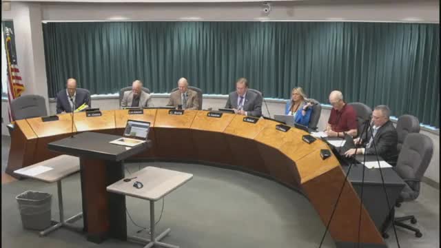
Summary
County staff told commissioners July 17 that heavy June rains produced widespread road and drainage damage, flooded lake basins still at record levels, and prompted a voluntary online storm‑damage reporting tool and a multi‑agency resource center to help residents.
Kandiyoi County officials briefed the Board of Commissioners on July 17 about public infrastructure and private impacts from two major June rain events and the county’s response.
County Emergency Management Director Ace Bonhamac said the county opened a multi‑agency resource center on July 1 to connect residents with relief agencies and handed out cleanup kits. He said the county requested state disaster assistance and was still awaiting the governor’s decision; federal FEMA individual assistance was unlikely because aggregated public damage did not meet FEMA thresholds.
The county is documenting public infrastructure damage worth about $1,400,000, Bonhamac said; he clarified that number covers public infrastructure only — roads and culverts — and does not include individual household, agricultural or business losses. Scott Newberg of the USDA Farm Service Agency told county staff that roughly 1,000 farms have reported being affected, but crop‑loss estimates were “too early to assess,” Bonhamac said.
Public Drainage Manager Austin Hillbrands and Public Works Director Mel Odens presented maps, unofficial rain totals and photos. Hillbrands said some unofficial local stations recorded more than 10.5 inches in 24 hours in parts of the southeast watershed — greater than NOAA Atlas 14 24‑hour reoccurrence thresholds for 100‑, 500‑ and 1,000‑year events — and that several lake outlets are at the highest levels the county has recorded since 1980.
Mel Odens reported 19 county roads overtopped by water, roughly 45 barricades placed, and repeated shoulder failures. He described a County Road 20 collapse that removed roughly 36 feet of 72‑inch pipe and required emergency reopening work; crews opened that road about 5 a.m. the night before the meeting. Odens also said some timber bridges need additional inspection because substructures remain submerged or only partially visible.
Hillbrands highlighted Judicial Ditch 1 (JD‑1), which drains about 141,138 acres and was still underwater in sections a month after the storms. He said JD‑1’s outlet has very low grade (about 0.01 percent, or roughly 0.52 feet of fall per mile), which he described as a key reason water remains in the landscape around Wilmer and Lake Elizabeth township.
County staff rolled out a voluntary online “report storm damage” survey intended for residents and local units of government to record locations, photos and damage details to help long‑term documentation and preliminary damage assessments. Bonhamac and Hillbrands urged townships and residents to use the tool; they said it is not a substitute for emergency reporting to the sheriff or public works for urgent assistance.
Commissioners and staff discussed potential mitigation options — removing blockages in the South Fork of the Crow River, evaluating holding ponds and storage, and mapping water‑control elevations — and acknowledged some options will require state approval, environmental review or legislative changes. Hillbrands said funding sources for larger drainage improvements are unclear and that some work could be paid for through ditch assessments if state aid is not approved.
No formal action or new appropriations were taken at the July 17 meeting. Commissioners asked staff to continue damage documentation, coordinate with state agencies, and pursue state disaster reimbursement options where available.
For residents: the county’s storm reporting tool is available at www.kcmn.us/em (click “report storm damage”), and urgent needs should still be reported to the sheriff or public works.