Get Full Government Meeting Transcripts, Videos, & Alerts Forever!
Council adopts subdivision control update to incorporate FEMA and NOAA data
5471261 · July 21, 2025
AI-Generated Content: All content on this page was generated by AI to highlight key points from the meeting. For complete details and context, we recommend watching the full video. so we can fix them.
Summary
The council approved a code amendment to the subdivision control ordinance to require use of FEMA floodplain maps and NOAA precipitation data when reviewing primary plats, bringing local code into compliance with recent state legislation effective July 1.
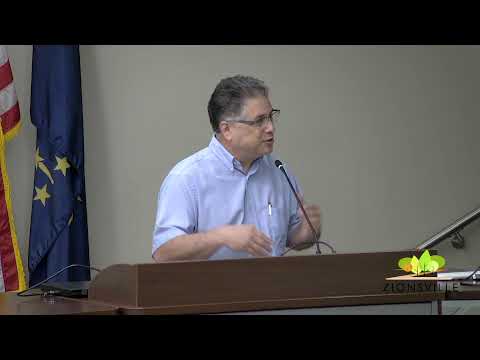
The Zionsville Town Council approved an amendment to Chapter 193 of the Town Code (the subdivision control ordinance) to require staff review of FEMA floodplain maps and NOAA precipitation data when evaluating primary plats for major subdivisions. Mike Dale, director of planning and…
Already have an account? Log in
Subscribe to keep reading
Unlock the rest of this article — and every article on Citizen Portal.
- Unlimited articles
- AI-powered breakdowns of topics, speakers, decisions, and budgets
- Instant alerts when your location has a new meeting
- Follow topics and more locations
- 1,000 AI Insights / month, plus AI Chat
30-day money-back on paid plans