Two Rivers reviews shoreline resilience plan: beach nourishment, breakwaters and a jetty among options
July 24, 2025 | Two Rivers, Manitowoc County, Wisconsin
This article was created by AI summarizing key points discussed. AI makes mistakes, so for full details and context, please refer to the video of the full meeting. Please report any errors so we can fix them. Report an error »
The planning-phase project covers roughly 3.5 miles of shoreline from the harbor south to the city limit on land the city owns. The effort is funded in part by grants and about $400,000 in local matching funds assembled to complete design and planning work, presenters said.
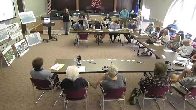
"This is primarily just a planning phase, specifically for the harbor projects," said Melissa Curran, Stantec (project introduction), describing the grant-funded scope and the city's objective to develop concepts and phasing rather than immediate construction. She and other consultants emphasized the presentation's purpose was to gather public feedback and refine designs ahead of later funding applications.
Sarah Harding, a landscape architect with Stantec, described nearshore and trail-focused concepts for several wayside parking areas between Spruce Drive and Memorial Drive, including converting some parking into prairie, replacing crushed limestone with soils to improve infiltration, adding rain gardens to reduce runoff, and improving beach access with safer grades or stairs. Harding said some planting areas could be managed by local groups and still function as public gardens while adding stormwater benefits.
From a coastal-engineering perspective, Abdul Jimenez, coastal team lead for Stantec, framed the shoreline problem as wave-driven erosion exacerbated by seasonal Lake Michigan level variation and readily erodible sand. "Alternative 1 is beach fill," Jimenez said, describing the simplest approach: widening the beach with compatible sand to place distance between infrastructure and active erosion.
Scott Hayward, a coastal engineer and modeler with Stantec, described numerical modeling used to compare performance of the alternatives. He said the team ran more than 40 simulations and presented results for a 50-year storm at a mean lake level as a baseline. Hayward said the model showed beach fill alone still experiences shoreline erosion under storm conditions, while nearshore breakwaters (Alternative 2) substantially reduced wave energy and helped retain placed sand. Adding a dogleg extension to the south jetty (Alternative 3) further reduced sediment deposition in the harbor entrance, which could reduce the frequency of dredging.
Consultants noted a historical Army Corps of Engineers planning study discussed a south-jetty extension; the Stantec modeling echoed prior findings that an appropriately aligned jetty can reduce wave penetration and harbor shoaling. Lavio Nadeghoss of the Great Lakes St. Lawrence Cities Initiative described his group's Resilient Coasts and Projects Initiative and the National Fish and Wildlife Foundation and Fund for Lake Michigan grants that support the planning work.
City staff and meeting participants emphasized why the work matters: much of the stretch fronts public works and wastewater facilities, and officials said ongoing erosion limits recreational use and contributes to sand depositing into the harbor mouth. Speakers noted disruptions to marina operations in fall storm season and the expense and frequency of dredging as local concerns.
Consultants closed the formal presentation and invited a town-hall style Q&A and written feedback. Attendees were asked to rank coastal alternatives (beach fill; breakwaters; breakwaters plus jetty) and to note likes, concerns, and additional ideas on sticky notes and ranking sheets provided at the meeting.
Votes at a glance
City council — Motion to adjourn (voice vote): approved (ayes called; no recorded nays). Second noted as Mark Bittner; mover not specified in record.
Plan commission — Motion to adjourn (voice vote): approved (ayes called; no recorded nays). Mover/second not specified in record.
Environmental Advisory Board — Motion to adjourn (voice vote): approved (ayes called; no recorded nays). Mover/second not specified in record.
What happens next: consultants said they will run seasonal simulations in addition to the design-storm runs, refine alternatives based on public input, and include the multi-month results in a final report. City staff noted the concepts will help the city be ready when funding opportunities arise, including potential state or federal grants and Corps of Engineers engagement.
View the Full Meeting & All Its Details
This article offers just a summary. Unlock complete video, transcripts, and insights as a Founder Member.
30-day money-back guarantee
Sponsors
Proudly supported by sponsors who keep Wisconsin articles free in 2025

