Get Full Government Meeting Transcripts, Videos, & Alerts Forever!
Get email alerts on the Public Safety Fire Maps topic
No spam. Unsubscribe anytime.
Fortuna council adopts state fire hazard-severity maps; maps intended for local planning, not immediate insurance changes
Summary
The council adopted CAL FIRE-drawn fire hazard severity zone maps as required by the state. Staff said the maps are for long-range planning and currently do not change local building requirements; the ordinance was adopted unanimously.
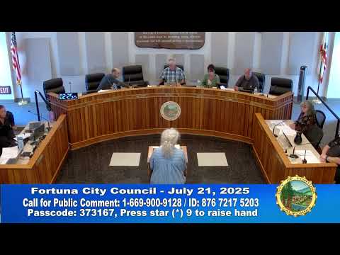
The Fortuna City Council on July 21 adopted an ordinance formally accepting fire-hazard severity zone maps prepared by CAL FIRE and issued by the State Fire Marshal, a change that newly designates parcels within the city for planning purposes.
Sherry Meads, Fortuna’s community development director, told the council the February update identifies about 1,935 parcels within the city limits as being in a moderate fire-hazard severity zone. The maps are a state-required planning tool and, she said, do not by themselves impose new building requirements or trigger immediate project changes.
Council members voted unanimously to adopt Ordinance 2025-775, which the staff report characterizes as exempt from the California Environmental Quality Act. Council member Connolly and Council member Stevens recorded affirmative votes; Mayor Pro Tem Trent and Mayor Johnson also voted yes.
Why it matters: The maps are intended to help jurisdictions target long-range planning, defensible-space efforts and evacuation routes. Meads said higher-designated zones could later prompt building-code or defensible-space requirements, but at this point no such local changes were required.
Insurance question: A council member asked whether the maps can be used to change homeowners’ fire-insurance rates. Staff said the city has no control over insurance ratemaking and that planners were told the maps are for local planning; staff indicated they were not aware of a direct mechanism by which the maps would automatically change insurance rates. Meads said the maps are generally updated about every five years.
Public comment and follow-up: A Royal Crest resident asked whether the park appears in the mapped area; staff offered to provide a parcel-level check after the meeting and noted an online lookup tool that reports a property’s designation when an address is entered.
Next steps: The ordinance adoption fulfills the state requirement that cities formally adopt the CAL FIRE maps. Staff said the maps will be used in future planning work, including the city’s general-plan update and evacuation and defensible-space planning.