Get Full Government Meeting Transcripts, Videos, & Alerts Forever!
Get email alerts on the Trails Planning topic
No spam. Unsubscribe anytime.
Crafton commission hears progress report on trails plan, consultant inventory and Corps coordination
Summary
Planning Commission members on July 22 heard a status update on a contractor-led trails planning project that aims to map and make promotable an informal system of paths in Crafton, including an approximately eight-mile loop that starts at Miss Mary’s bulletin board.
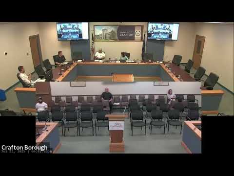
Planning Commission members on July 22 heard a status update on a contractor-led trails planning project that aims to map and make promotable an informal system of paths in Crafton, including an approximately eight-mile loop that starts at Miss Mary’s bulletin board. The update, given at the Planning Commission regular meeting in council chambers, said the consultant is completing an inventory of the existing trail segments, identifying ownership and access constraints, and documenting points that would need engineering, design or intergovernmental agreement before they could be promoted or improved. The inventory is intended to create an official system the borough can map and use when seeking grants or carrying out improvements. The speaker described an exposed cliff on the Creek Trail and other barriers that currently make portions inaccessible to people who use strollers, walkers or wheelchairs, and said a completed inventory would let the borough seek funding to make targeted improvements. Commissioners discussed Baker’s Acres, a privately owned or formerly ambiguous parcel behind local businesses (referenced in the meeting as behind Sakai’s and Big Tree Coffee) that the speaker said is now borough right-of-way but still needs legal and physical clarification before it can be included in a promotable trail route. The speaker said the consultant’s scope includes identifying those “boxes” — parcels, easements and intergovernmental issues — that must be cleared to move a segment from an informal walk to a mapped, promoted trail. The update noted that parts of the corridor are managed by the U.S. Army Corps of Engineers (described in the meeting as the corps that manages a local levy), and that the corps places limits on some uses (for example, planting trees on certain levee surfaces). The consultant, the speaker said, has begun outreach to multiple stakeholders and agencies to determine how to “get them to the table” and what approvals or restrictions would apply. Commission members asked whether the trails work is part of the Planning Commission’s responsibilities; borough staff and other members said the project is being conducted by a trail study committee and a consultant funded by a council-obtained grant, but the Planning Commission can ask to review the consultant’s draft and provide recommendations before the draft goes to borough council. Jim (identified in the meeting as head of the trail study commission) was named as the committee lead. The speaker said the next public, more formal update is expected in September; the consultant is still completing the inventory and has follow-up stakeholder meetings scheduled. Discussion (not a formal action) focused on next steps for review: commissioners agreed they can request the draft inventory for review and that the Planning Commission could host community visioning or open-house events once the inventory produces a clear list of recommended improvements. No ordinance or funding appropriation was adopted at the meeting. Ending: The Planning Commission and trail study committee will continue outreach; the consultant will finish the inventory and return an update (expected in September) that the Planning Commission may review before any council action.