Get Full Government Meeting Transcripts, Videos, & Alerts Forever!
Get email alerts on the Land Use Rezoning topic
No spam. Unsubscribe anytime.
Village approves multiple land‑use map amendments and rezonings for parcels in Salem Lakes
Summary
The Village of Salem Lakes board unanimously approved a series of land‑use map amendments, rezonings and a certified survey map to enable sale and subdivision of several parcels in Sections 21 and 33, including creation of a 5.3‑acre lot.
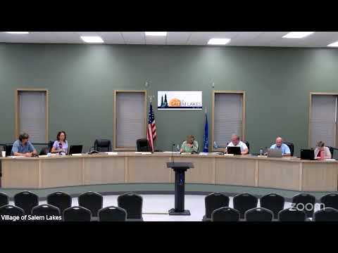
The Village of Salem Lakes Village Board on July 21 unanimously approved a set of land‑use map amendments, rezonings and a certified survey map to clear the way for sale and subdivision of multiple parcels in the village. The approvals cover tax parcels in Sections 21 and 33 and include map amendments (ordinances 2025.0796, 2025.0794) and rezonings (ordinances 2025.0797, 2025.0795) moving parcels from park/recreational and environmental corridor designations to suburban/urban single‑family residential districts (R4, R1) and conservancy districts (C1/C2) as applicable. The board later approved a certified survey map to create a 5.3‑acre parcel from tax parcel 704123310300. President Buecher presided over the zoning items and introduced Andy, the village planner, who described the applications as “fairly simple” and said the planning commission had approved the items unanimously. “The land use plan already shows for this rezone to occur,” Andy said, noting the plan commission’s 7‑0 recommendation. Trustees moved, seconded and called votes for each ordinance; the roll calls returned unanimous aye votes on the listed items. Why it matters: the actions remove parcels from park/recreational or primary environmental designations and place them in residential districts to allow sale, subdivision and future residential development. One parcel under these actions is along Ninth Avenue near County Highway SA; another is on Eighth Avenue near 103rd Street; the certified survey map creates a 5.3‑acre lot on 122nd Street northwest of Rock Lake Road. Supporting details: the board’s packet lists the affected tax parcels (for example 704122140220 and 704122130575) and includes the planning commission report and conditions. For the certified survey map (received 06/04/2025), the planner noted two conditions: a Department of Administration technical review must be returned and any necessary corrections made before the map can be signed and recorded. The board approved that resolution with the stated conditions. The board did not discuss additional zoning restrictions or special assessments as part of these votes; no amendments to the motions were recorded. The planning commission materials and the ordinances adopted remain the governing authorities for these items. The village clerk will record the ordinances and, once the Department of Administration completes its technical review, the certified survey map will be finalized and recorded.