Get Full Government Meeting Transcripts, Videos, & Alerts Forever!
Get email alerts on the Wetlands And Enforcement topic
No spam. Unsubscribe anytime.
Conservation commission orders survey, markers after clearing found in South Bridal Estates resource area
Summary
At its July 16 meeting the conservation commission recorded cleared vegetation in a designated resource area at South Bridal Estates, voted to have the site surveyed and marked, send notice to neighbors and the recorded owner, and to pause further work until the owner meets the commission.
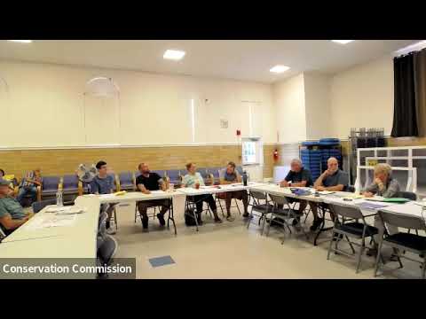
The conservation commission on July 16 moved to have a disputed parcel at South Bridal Estates resurveyed and the resource-area boundaries physically marked after commissioners found recent clearing inside a designated resource area.
Commission members said they visited the property and found cleared ground that, based on the commission's map, falls inside the town’s mapped resource/wetland area and around a detention basin. The commission voted to arrange a boundary survey, install pins and signs marking the no-work area, notify adjacent property owners and the recorded owner, and reconvene the matter after the survey is complete. The commission also directed that no further machinery work occur at the site until the owner appears and the commission has reviewed the survey results.
Commissioners told the meeting they had made multiple site visits. The group reported that portions of vegetation had been removed up to and, in places, beyond the perceived property line; in several spots stumps appeared to have been removed. Commissioners said a town resource map shows much of the parcel is resource area and includes a detention basin. Members discussed conflicting accounts from neighbors about whether heavy equipment had been used and noted disagreement about the parcel size — some meeting participants cited “13 acres” while others said “7 acres.”
The commission said it had consulted informally with Mark Stinson of the state Department of Environmental Protection (DEP). A commission member said the DEP circuit rider suggested using the final approved plans or a wetland consultant to help place signage and locate markers, and recommended surveying before installing permanent markers. The commission discussed paying for a survey and noted that a funding decision may require a future vote.
For next steps, the commission voted to send certified letters to the adjacent property owners and to the recorded owner identified in the assessor’s records, and to ask the recorded owner to appear at the commission’s next meeting on Aug. 20. Commissioners said certified notice will inform recipients of the violation notice and the requirement to meet or to provide a survey. The panel also said it will consider a cease‑and‑desist on additional clearing (no heavy machinery or further disturbance) until the owner meets with the commission.
The commission noted limits to its authority: it can document and enforce local conservation bylaws and issue notices, but enforcement actions and legal disputes over title or trespass may require involvement by other town departments or legal counsel. The commission said it will bring survey results and any clarified ownership documentation back to the board for a follow-up decision.