Get Full Government Meeting Transcripts, Videos, & Alerts Forever!
Get email alerts on the Land Use Rezoning topic
No spam. Unsubscribe anytime.
Commissioners approve rezoning of 719-acre Coleman Road tract to M1 with 200-foot buffers
Summary
Lowndes County commissioners approved rezoning 719 acres on Coleman Road from a mix of CC, R1 and conservation to M1 (light industrial) and conservation, subject to seven conditions including a 200-foot undisturbed buffer along residential edges, after residents raised concerns about wetlands, flooding and traffic.
Lowndes County commissioners voted to rezone roughly 719 acres on Coleman Road to M1 (light industrial) with conservation overlay, approving seven staff conditions intended to limit impacts on adjacent residential neighborhoods. The approval follows a 4–3 recommendation for approval from the county Planning Commission.
The rezoning request would change parcels currently zoned CC, R1 and conservation to M1 and conservation; county staff said the tract would be served by county utilities if development requires them. Planning staff noted wetlands on the property, references to the 2008 FEMA flood maps and the 2021 FEMA proposed maps, and that the site’s size would require a development-of-regional-impact review if a large user is identified.
Why it matters: The parcel abuts the Foxborough subdivision and other residential areas. Neighbors told commissioners they feared increased flooding, loss of tree cover and noise or pollution from industrial uses. County staff and the applicant emphasized conditions intended to reduce those risks.
Planning staff described seven conditions attached to approval: no access from the tract to Briarberry Drive or Quail Hollow Circle; developer responsibility for transportation or utility infrastructure upgrades if a change of use triggers them; all lots to front interior roads; a 200‑foot undisturbed buffer along northern and southern property lines abutting residential zoning; shielding and direction of exterior lighting to avoid illumination of adjacent residential properties; design and use of loudspeakers or paging systems and any electromagnetic‑emitting equipment so they are not discernible at abutting residential lines; and a prohibition on correctional facilities, transitional care facilities and kennels with outdoor runs. Planning staff said the 200‑foot buffer is roughly five times the county minimum between industrial and residential zoning, which is 40 feet.
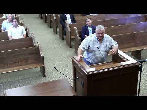
Several Foxborough residents spoke in opposition. Francesca Caldwell said, “When we chose to purchase our home in this area, 1 of the main reasons was it's non industrial zoning or next to not next to an industrial zoning. We were drawn to quiet green spaces.” Wendy Scott described existing flooding near Briarberry Drive and said she worried that clearing and construction would change where stormwater flows. Joel Dion raised concerns about data centers and water contamination, and Jeff Ford told the commission, “Our concern is nothing prevents the sale of this property to someone else who is not that concerned about being as good of a neighbor.”
Applicant Pope Langdale said his family has cleaned and maintained parts of the tract and pledged stewardship: “Our family's always been a good steward of the environment and of the land. And I can tell you right now the last thing we would ever do is get in there and pollute a river, disturb wetlands, or do something that would harm the neighbors.” He said the family supports the buffer conditions.
County commissioners debated property‑owner rights and neighborhood concerns before voting to adopt the Planning Commission recommendation with staff’s seven conditions. Commissioner Orenstein moved to approve the request with the conditions; the motion was seconded and the commission voted to approve.
The approval does not identify a specific end user; staff said uses that create heavy noise, odor, smoke, dust or hazardous‑waste handling would be classified as M2 and require a separate public hearing. Planning staff also noted that if the county adopts the 2021 FEMA maps, more of the tract could fall under conservation mapping and change how portions of the site may be developed.
No timeline for site build‑out or identified tenants was provided at the meeting. The rezoning now becomes part of the property record; future development proposals will return for permitting and, if necessary, additional public review.