Get Full Government Meeting Transcripts, Videos, & Alerts Forever!
Get email alerts on the Sea Level Rise And Resiliency topic
No spam. Unsubscribe anytime.
Consultants present City of Stuart vulnerability assessment; warn grants and deadlines are imminent
Summary
City staff and consultants presented a state-funded coastal vulnerability assessment and adaptation plan that maps sea-level and compound-flood risk, identifies at-risk critical assets and neighborhoods, and urges applying quickly for state resiliency grants with a 50% match requirement.
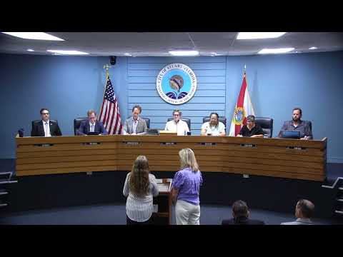
City of Stuart officials on July 14 heard a technical vulnerability assessment and adaptation plan describing projected sea-level rise, high-tide and storm-surge scenarios and which public assets and neighborhoods are most exposed.
The assessment, prepared under a Florida Department of Environmental Protection planning grant, maps exposure for 2040 and 2070 scenarios and pairs those flood predictions with the city’s critical-asset inventory, consultants said. “This is going to speak to a lot of that and, hopefully, answer a lot of the questions about maybe which drainage projects, which neighborhoods might be most affected by storms and storm events and, and flooding,” staff member Ben Hogarth said at the start of the presentation.
Why it matters: the study is a grant requirement and is intended to support applications for state resiliency funds. Consultants told the commission the state has allocated a large pool of resilience funding that cities should pursue quickly and warned the application period opens in the coming months. “This year, 2025 to 2026, the state has allocated $835,000,000 statewide … the application is due … on September 1,” consultant James Karnes of CapTek said. The consultants also said most of the state awards require local matching funds (typically 50%), so the city will need to assemble match sources if it wants construction funds.
What the study does: CapTek and its subconsultants combined statewide sea-level tables from NOAA and U.S. Army Corps sources with local LiDAR/topographic data and Martin County inputs to create maps of predicted inundation for intermediate-low and intermediate-high sea-level scenarios in 2040 and 2070. The work includes an asset inventory that assigns sensitivity scores (none/low/moderate/high) to public facilities, stormwater assets, streets and other infrastructure.
Findings and examples: consultants showed neighborhood-level maps and tables that identify early impacts at outfalls and baffle boxes where rising water would begin to touch piping and inverts, causing recurring nuisance flooding. One example in the presentation flagged an inlet and baffle box at Fraser Key Creek as being susceptible under modest sea-level and high-tide scenarios; the same maps indicated some retention basins and outfalls that are not currently captured in the city’s 2022 stormwater plan. The consultant used the Cleveland Clinic building as a demonstration asset and showed that under intermediate scenarios vulnerability moves from minimal to moderate once compound-flood elevations exceed roughly 1.4 feet above the mean high-high water datum.
Data scope and limits: consultants emphasized the study uses standardized statewide datasets supplied by NOAA and the Army Corps. The tide and sea-level base data used in the model were drawn from the NOAA dataset published in 2017; consultants said a 2022 update exists but was not included in the grant deliverable. The consultants acknowledged that localized vertical land movement (VLM) and newer tide-gauge records could shift the local projections and recommended periodic updates.
Questions and next steps: commissioners pressed for clarity about which datasets were used, how to read the charts and whether the maps could be used to update the city’s stormwater capital-improvement plan. Staff and the consultant recommended the report be used to prioritize projects, refine the stormwater master plan and support competitive grant applications. City staff said the assessment satisfies a grant requirement that unlocks eligibility for future DEP resilience construction funds and that the city will seek projects to match state awards. City staff also noted the state’s program typically requires a local cost match; current guidance from staff says those matches will often range around 50 percent.
The city manager told the commission staff will use the assessment to align capital planning, seek funding and coordinate with Martin County. Commissioners requested copies of the maps and asked staff to return with a dollar-costed, prioritized list of stormwater projects that could form the basis for competitive grant applications.