Get Full Government Meeting Transcripts, Videos, & Alerts Forever!
Get email alerts on the Wastewater Boundaries topic
No spam. Unsubscribe anytime.
Council approves wastewater boundary adjustment with Mid Valley Improvement District
Summary
After a public hearing, Murray City Council adopted two resolutions updating wastewater service boundaries shared with Mid Valley Improvement District affecting two properties; the council voted unanimously to accept the adjustment plat and legal description.
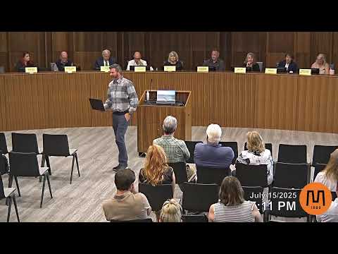
MURRAY, Utah — The Murray City Council held public hearings and on July 15 adopted two resolutions that adjust city wastewater service boundaries shared with Mid Valley Improvement District, a change that affects two properties including the Sam’s Club site and a parcel on East Winchester.
Ben Ford, a city staff member, presented background showing the Mid Valley service boundary had not been updated since 1947. Ford said the adjustment clarifies that Mid Valley’s boundary does not extend north of I‑215 in the areas depicted and presented a legal description and plat map for council approval.
Council action - The council opened and closed two public hearings with no public testimony and then approved two resolutions: one approving the boundary adjustment and one accepting the plat showing the revised legal description. - Roll-call approval was recorded during the meeting; the actions were adopted without recorded opposition.
Why it matters: The updated boundary clarifies which provider serves which properties and resolves longstanding boundary ambiguity dating back to mid‑20th century plats.
Ending note City staff said notices were mailed to affected entities and adjacent properties before the hearing and that the city will file the accepted plat and legal description as the official boundary record.