Get Full Government Meeting Transcripts, Videos, & Alerts Forever!
Get email alerts on the Gis Software topic
No spam. Unsubscribe anytime.
APW renews GIS software for one year; council asks staff to evaluate regional consortium options
Summary
The committee approved a one-year renewal of the city's GIS software. Council member Kelly asked staff to evaluate joining a regional GIS consortium; interim CIO provided background on pricing parity and the consortium's role serving smaller communities.
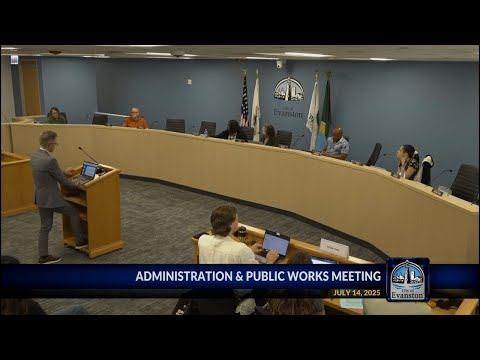
The Administration and Public Works Committee on July 14 approved a one-year renewal of the city's GIS software license and support, and asked staff to research whether joining a regional GIS consortium would be feasible and cost-effective.
Why it matters: Geographic information system (GIS) data supports many city services, including planning, inspections, parks and public works. Council members said a consortium model might lower costs and enable shared applications and data products.
Committee discussion: Council member Kelly asked staff to look into joining the GIS consortium used by nearby communities, noting examples of shared applications such as parks-inspection systems. Dimitri Shube, the city's chief information security officer and interim CIO, said pricing for software licensing and support available to consortium members is comparable to Evanston's current pricing under the Illinois master purchasing agreement. He added that the consortium—s core mission is to serve smaller communities that lack in-house GIS capacity; Evanston currently has a full-time GIS analyst on staff.
Action taken: The committee approved the one-year software renewal by roll call, 5-0. Staff agreed to evaluate consortium participation and report back with details on technical implications, costs and interoperability with existing systems.
Ending: Staff will return with an analysis of the GIS consortium option and any required steps to join, including technical and staffing considerations.