Get AI Briefings, Transcripts & Alerts on Local & National Government Meetings — Forever.
Young County approves ground-penetrating radar survey at William D. D. Johnson Cemetery
Loading...
Summary
Commissioners voted to hire Texas Cemetery Restoration to perform a noninvasive ground-penetrating radar survey at the William D. D. Johnson Cemetery to locate possible unmarked graves; vendor explained methodology and limits and the county said funds are available for the work and a related sod project.
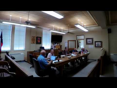
Young County Commissioners on Tuesday approved hiring Texas Cemetery Restoration to perform a ground-penetrating radar (GPR) survey at the William D. D. Johnson Cemetery to locate possible unmarked burials. The vote followed a presentation by a vendor who described the equipment and the likely outputs of the survey. The survey, county officials said, is intended to identify anomalies consistent with disturbed soil or potential burial shafts so that the county can map likely unmarked graves and preserve the site. The county indicated funding for the survey and for a related sod project is available from the current budget. Dean Kiddinger of Texas Cemetery Restoration told the court the radar unit is pushed across the ground in a grid and produces digital "slices" that the company analyzes for changes in soil density. "It's not x‑ray, so we're not gonna see bones," Kiddinger said. "What the radar is detecting is changes in density in the soil." He added the method is interpretive and that detection depends on factors such as soil type, coffin materials and burial method: "It's not a 100% accurate." County officials and the vendor discussed property boundaries and permission for work. Kiddinger said his company only needed permission to work on land owned by the county; adjacent parcels, including a parking lot and a strip owned by the state (TxDOT), are outside the county's authority. Commissioners said the county fence line marks the area they control and that the county would limit work to those areas. After questions about timelines and outputs, a commissioner moved to approve the GPR project and a second was recorded. The motion passed without recorded opposition. Commissioners said the final deliverable will include a report listing the number of anomalies found, a map with latitude/longitude locations for each detected anomaly, and recommendations for follow-up research or marking. The county did not provide a dollar amount for the survey during the public discussion. County staff said budget money exists to pay for the survey and the planned sod project; the meeting record shows the court directed staff to proceed with contracting the work and to return details as needed. Presiding officer: The final report and the county's subsequent decisions about formal markers or further investigation will be made after the vendor completes data processing and submits its map and findings.