Office of Resilience briefs commission on 2024 Hampton Roads Hazard Mitigation actions and ongoing projects
Get AI-powered insights, summaries, and transcripts
Subscribe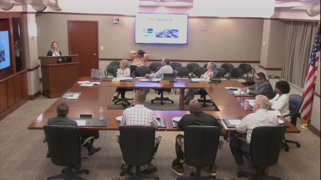
Summary
The city's resilience staff presented the annual report for the Hampton Roads Hazard Mitigation Plan, summarizing 14 mitigation actions under way or planned, including shoreline stabilizations, dune replenishment, pump-station resilience, grant-funded home elevations and a watershed master plan to support higher Community Rating System credits.
City resilience and planning staff presented the annual report for the Hampton Roads Hazard Mitigation Plan, updating the Planning Commission on ongoing projects intended to reduce flood and storm risk. Alyssa Flatt, the city's CRS coordinator and floodplain planner, summarized the plan's actions and progress, noting the regional plan is updated every five years (the current plan was finalized in 2022) and that local actions position the city to be eligible for state and federal mitigation grants. Major actions reported - Structural and shoreline work: studies of existing breakwaters, design and construction of new bulkheads and living shorelines (Surrey Crescent, Richmond Crescent, Haig bulkhead) and continued dune work including a recent back-pass of approximately 12,000 cubic yards of sand to restore dunes. - Stormwater and drainage projects: Meadow Lake smart-pond retrofits, improvements to Fifth Bay drainage, and the St. Paul's Blue Greenway. Public-works projects included pump-station electrical upgrades designed to keep equipment operable during flooding. - Grants and elevations: The Department of Emergency Management applied for and expects a Flood Mitigation Assistance (FMA) grant to elevate seven homes (completion anticipated by 2027). Office of Resilience staff said other federal grant sources have been pursued; some grant programs have experienced recent funding uncertainty. - Planning and classification: The city is preparing a combined coastal and precipitation watershed master plan intended to meet Community Rating System prerequisites; staff expect to finish data analysis and have a plan in time to support an application to move toward CRS Class 4. - Technology and monitoring: Staff are expanding real-time flood-sensor coverage and integrating sensor data into public APIs and mapping products (FloodMap/Waze integration), and are discussing a NASA partnership to use satellite InSAR and USGS products to monitor localized subsidence. Why it matters: Adoption and implementation of mitigation projects improves access to state and federal mitigation grants, increases community resilience to coastal and river flooding, and helps prioritize capital investments in vulnerable neighborhoods. Questions and clarifications from commissioners Commissioners asked whether any projects had been curtailed because of recent grant or budget cuts. Staff said some grant opportunities were discontinued, but the actions reported as ongoing remain city priorities; one specific EPA environmental-justice grant was not funded, and BRIC (Building Resilient Infrastructure and Communities) pursuit had been constrained. Staff said the FMA application for home elevations remains active. Next steps Staff will complete the watershed master plan and continue work on the Coastal Storm Risk Management (CSRM) phased design, pursue applicable grants, integrate additional real-time sensor data into public tools, and return to the commission with progress updates.