Get Full Government Meeting Transcripts, Videos, & Alerts Forever!
Get email alerts on the Land Use Haleiwa Rezoning topic
No spam. Unsubscribe anytime.
Council passes second reading to reclassify 8 acres in Haleiwa from agricultural to urban
Summary
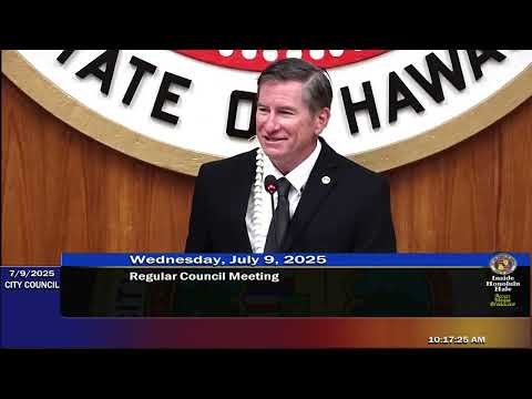
The Honolulu City Council adopted Committee Report 243 and passed second reading of Bill 37, CD1, a state land‑use district boundary amendment to reclassify roughly eight acres near Haleiwa from agricultural to urban.
The Honolulu City Council adopted Committee Report 243 and passed second reading of Bill 37, CD1, a state land‑use district boundary amendment to reclassify roughly eight acres near Haleiwa from agricultural to urban.
The vote on second reading passed 8–1, advancing the measure while leaving key project approvals—most importantly a future zone change and updated infrastructure studies—to later review.
Supporters, including city planning staff, said the parcel lies inside the North Shore Sustainable Communities Plan’s community growth boundary and that the change would enable new housing. Dina Wong, chief planner in the Department of Planning and Permitting, told the council that a subsequent zone change application would be subject to the city’s affordable housing rules and that “you would need 30% of all the units to be affordable,” with 10% targeted to households at 80% area median income and 20% at 120% AMI.
Opponents—dozens of North Shore residents and community groups—urged the council to block the reclassification and to protect farmland and the area’s limited infrastructure. Testimony described heavy traffic in Haleiwa, risks during emergency evacuation and loss of agricultural land. Natalie McKinney, who said she runs a nonprofit learning farm nearby, noted that her organization has produced 40,000 pounds of produce on seven acres as evidence the land can be farmed.
Council members debated whether the boundary change would preempt ongoing updates to the North Shore Sustainable Communities Plan. Don Apuna and other Department of Planning and Permitting staff told the council the department recommended CD1 because, in their view, it was consistent with broader plans and the identified housing need—but they also noted the need for updated traffic and infrastructure analyses. The CD1 version of the bill carries a condition requiring the applicant to update a traffic impact analysis and have it accepted by the Department of Transportation Services and DPP before a zone change application can be filed.
Council members pressed staff on the age of the traffic analysis the applicant had supplied; staff said the traffic report dated from 2015 and must be refreshed. Council member K. Kia Aina (chair of the Zoning and Planning Committee) moved to adopt the committee report and pass second reading. After extended public testimony and council discussion the measure advanced, with eight ayes and one no.
What passes the council today is a state land‑use boundary amendment that “runs with the land”; it does not itself approve a development plan. If the boundary change becomes final, any developer proposal would still require a zone change, updated traffic and infrastructure studies, and the city’s affordable housing obligations at the zone‑change stage.
Council members and many testifiers said they expect further review in committee and additional public outreach as the project proceeds. Several residents said that even if the parcel is a small portion of Oʻahu’s land area, approving urban reclassification in Haleiwa would set a precedent for more conversions of farmland in a sensitive community.
The council’s action advances the bill to the next legislative steps but leaves the most significant project approvals—and mitigation commitments—until the zone change and related permit proceedings.